NOTICE .. Any duplication, electronic or otherwise, of the images at this Website without my expressed permission is a copyright violation, and I will treat it as such. Do us both a favor and ask me for permission before using any of the images herein ... you can e-mail me at cdoswell@earthlink.net.
NOTICE .. All images on this page have been shot with a digital camera, or captured from digital video, with some enhancement (to make them look more like reality or to enhance the image quality). I do not alter my images to put in things that were not originally in the image and I do not make digital composites to make scenes that I did not actually see. I might, at times, remove clutter like power lines.
Route notation: "USXX" denotes US highway XX, "I-xx" denotes Interstate highway xx, "SSxxx" denotes state (SS) highway xxx, "FMXX" in TX denotes farm-to-market highway XX. Wherever possible, cities that are National Weather Service sites are identified with the appropriate 3-character identifier.
Route: OUN, north on 24th St, to Franklin Rd., east on Franklin Rd to Sooner Rd, north to I-240, to I-40, west to spurUS281/US270, northwest to US83, north to I-70, northwest to Colby, KS
Basically, a positioning day, although the best storm of the evening (not much) wound up being close to Colby where we stopped. We didn't chase it, although perhaps we should have.
Route: Colby, KS, north on KS25 to NE, continued north on NE25 to US6, northwest to IML, then north on NE61, then east on I-80 to EAR
A day with promise that was compromised by reality. We met up with John Monteverdi and Thom Trimble to chase with for a few days. Apparently, bad shear profiles favored left-movers, with updrafts on their northwest flanks, and although moisture advection from the SE continued all afternoon, it seemingly was cancelled out for the most part by mixing, and we never got the CAPE we expected. That’s chasing.
Route: EAR, east on I-80 to York, NE, north on US81 to NE66, west to NE14, then north to NE 92, west NE22, north for 5 miles, then back south to NE92, east to US30, southwest to unnumbered Gun __ Road, south to US34, east to county road S41B, then south to US6, east to NE14, then south to US136, east to US81, south to CNK
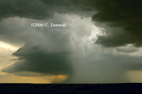
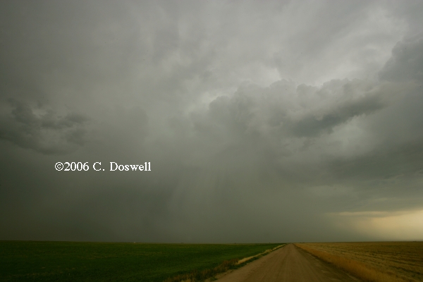
Another letdown day. Storms began as numerous discrete cells, some of which showed weak shear signatures on radar and might have had some weak rotation, but things moved inexorably to a long N-S squall line. Near GRI, there were some gustnadoes. Ran into Tim Marshall and wife while in the vicinity of GRI. Chased with Scott Landolt and friends for the afternoon.
Route: CNK, south on US81 to I-135, continued south to KS254, east to KS54, continued east to Ft. Scott, KS, north on US69 to I-435, west and north to I-29, north to NE2, northwest to LNK
A definite bust. The potential that was never great to begin with failed to eventuate, we wound up seeing weak bubbles going up along the boundary pushing through eastern KS late in the day, so we gave up and began to reposition for Friday on the High Plains.
Route:. LNK, I-80 to LBF
Just a repositioning day.
Route: LBF, south on US83 to KS23, continued south to 2 mil south of Gove, back to 4 mi north of Grainfield, KS, then back south to I-70, east to Wakeeney, KS, north on US283 to 18 mi north of Wakeeney, KS, then continued north to HLC, then west on US24 to KS23, north to US83, north to MCK
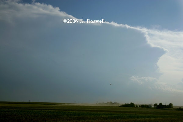
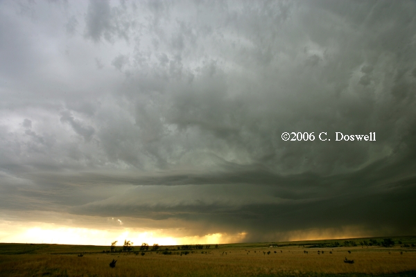
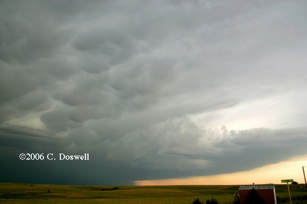
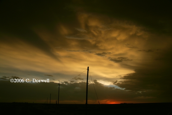
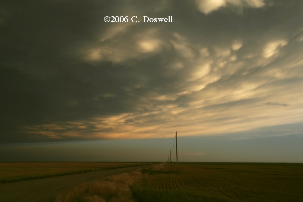
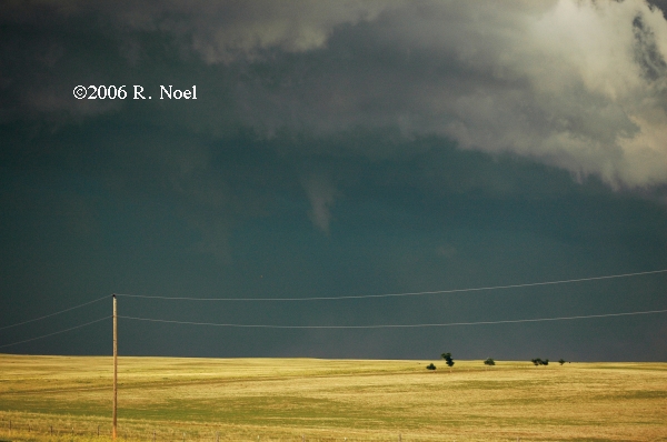
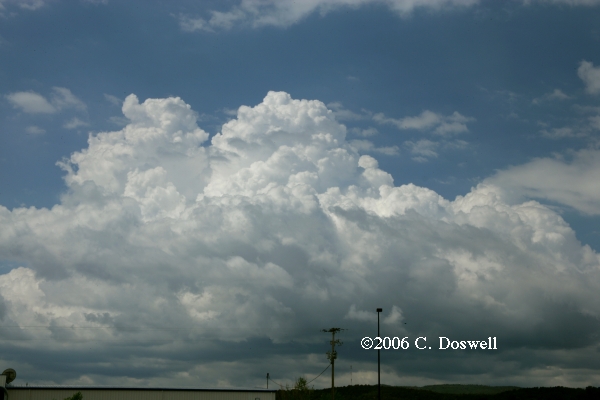
A fairly good chase day. Storms struggled to get going until late in the day, but finally a group of supercells slowly evolved out of a multicell complex. After we moved to keep up with the first supercell, another redeveloped to its east, and then another. This caused some navigation issues, but we finally got a good view of the westernmost storm in the supercell grouping. Between the easternmost supercell and the second, there was some fairly dramatic mammatus. After discerning the lack of a tornado threat, we broke away from John and Thom, who had to drive to DIA to get Thom back home, and pick up Scott Landolt on Sunday.
Route: MCK, north on US83 to Mission, SD, then east on SD18 to Winner, SD
Today was something of a long shot. Didn’t want to go all the way to ND for a poor chance, so settled on SD for a rather lesser chance, hoping that something could break the cap. Didn't happen - we busted, with nothing going. Tomorrow looks more promising.
Route: Winner, SD, east on SD44 to US281, north to I-90, west to SD73, south to NE61, south to CDR
Pretty much a busted day. Chased the surface boundary eastward for a while, but gave up as the cap was obviously going to hold. Then we raced back west, to catch a bow echo coming into CDR. Met up there with John and Scott.
Route: CDR, south on US385 to US26, southeast to I-80, east to NE25, south to KS25, continued south to I-70, southeast to US83, south to GCK
Basically, a repositioning day. We blew off any attempt to try for storms on the front to get ready for Tuesday. We saw the frontal storms to our southeast as we came south but they didn't appear to be anything great, either visually or on ThreatNet.
Route: GCK, south on US83 to US160, west to US287/385, south to US56, continued south on US385 to DHT
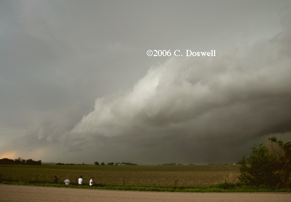
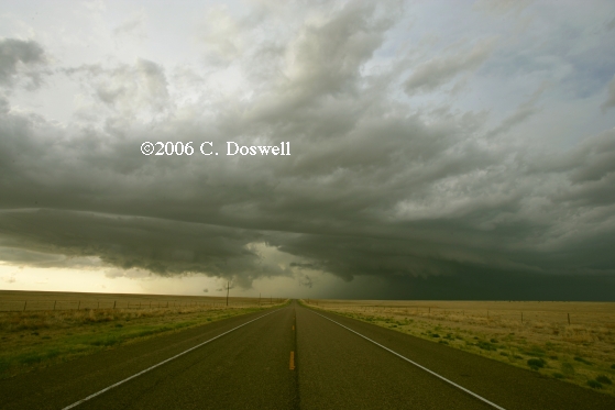
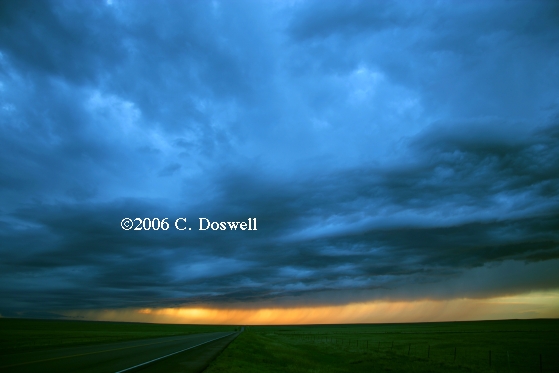
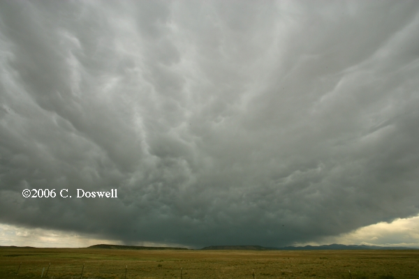
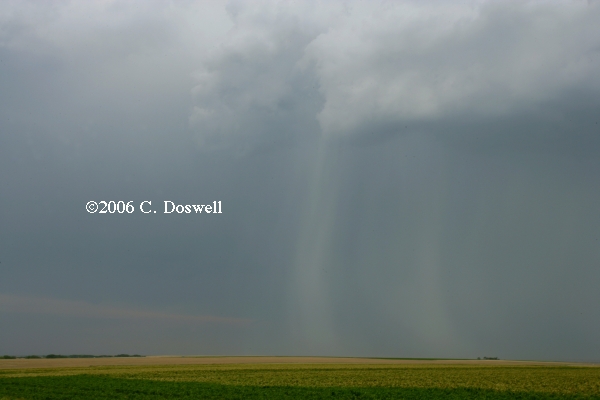
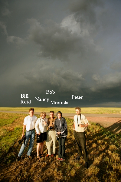
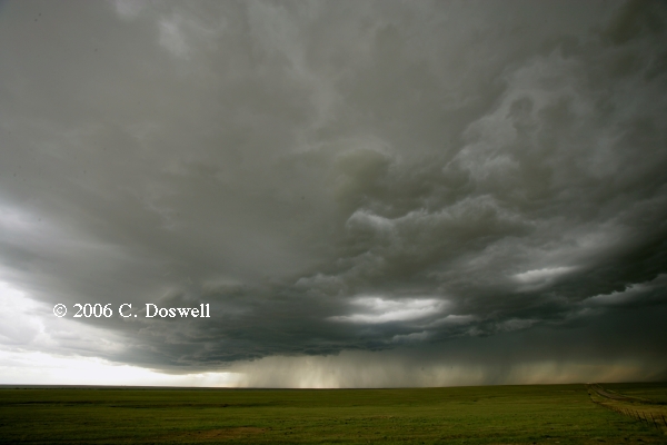
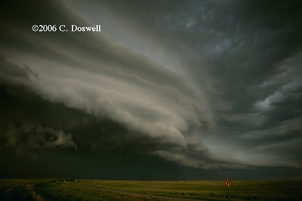
Not a bad chase day. We figured to stay in CO, hoping for better shear, even as a supercell developed in northwestern OK and propagated due south. That was too far away to even think about going after, and there were multiple squall lines in the TX panhandle, which were not very promising. However, we had storms developing on the Raton Mesa, so we waited on the CO/OK border. Saw a host of chasers eventually, including Bill Reid and the Tempest Tours group, as the storm approached slowly. Roads really didn’t permit a chase, but rather we let the storm come to us. It eventually revealed a wall cloud but we never saw anything close to tornadic. It eventually chased us southward - along the way, we saw a downburst-producing rainshaft to our immediate east. Eventually, we wound up at the TX/OK border as the storms evolved into a squall line - merging outflows drove southward and the sun set. We managed to catch the towers at the tail end of the squall line near the TX border.
Route: DHT, north on US385 to LAA, west on US50 to CO71, north to county road 2W, east to Hugo, southeast on US287 to Kit Carson, CO, then back on US287 to LIC
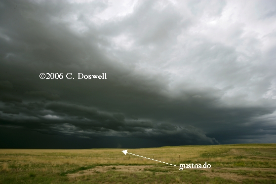
Early in the day, we met and chatted with OFs Jim Leonard and Matt Crowther, as well as Patrick Kerrin and the original “Twister Sisters” - Kathy Velasquez and Linda Kitchen - in LAA. It eventually turned into something of a chase day, but we only caught the end of a supercell near LIC before it lined out - we never had a good view of it. We had split the difference between two storms, one near LIC and another near TAD. The lack of roads argued against the TAD storm, so we went north, only to arrive as the storm began morphing into a squall line. The outflow began to chase us southward, and we saw several gustnadoes and more downbursts as the cold outflow surged out of the storms. Ran into OFs Al Moller and Sam Barricklow near Kit Carson. A moderately interesting sunset developed as we drove back to LIC for the night.
Route: LIC, east on I-70 to US83, south to GCK
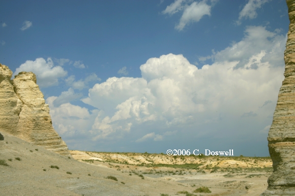
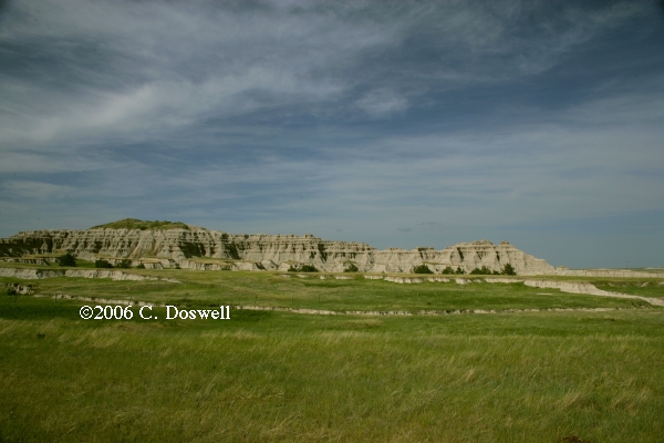
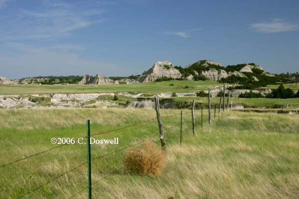
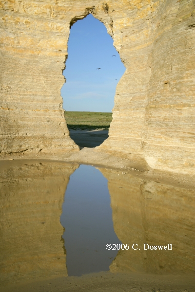
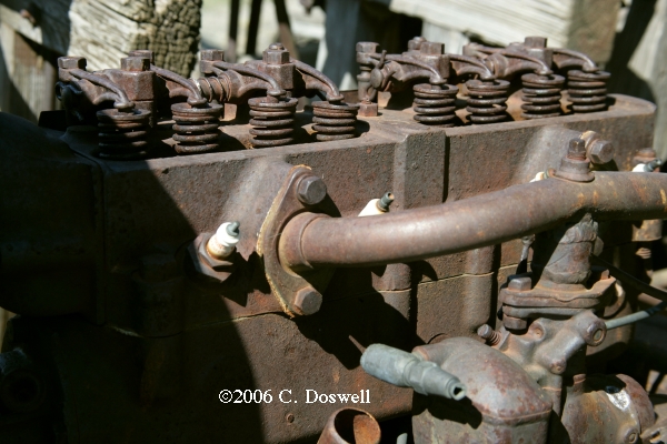
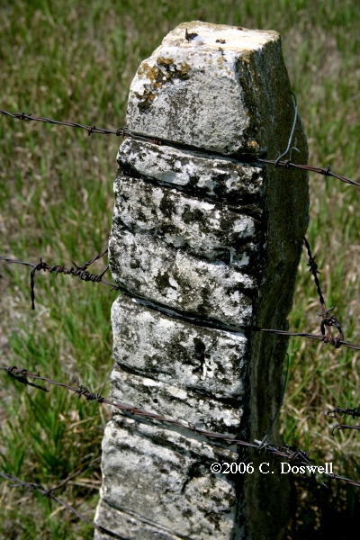
Travel day, after deciding to end the chase. We stopped at Monument Rocks in KS for some photography.
Route: GCK, south on US83 to I-40, east to Sooner Rd, south to OUN
Completing the trip home.
Part 2: Spot Chase w/Vickie
Route: OUN, west on Rock Creek Rd to I-35, north to I-240, west and north to I-40, west to US83, north to I-70, west to US385 to about 5 mi north of Burlington, CO, then south on US385 to county Road K, west to county Road 58, then west to US385, to Burlington, CO
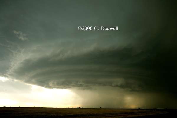
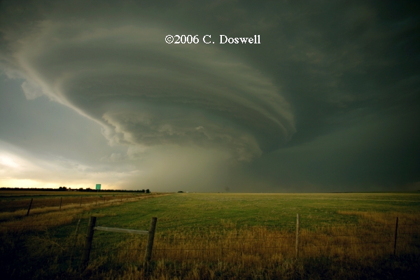
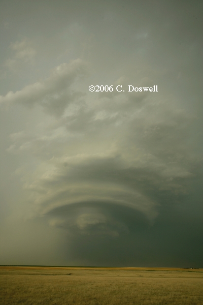
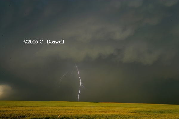
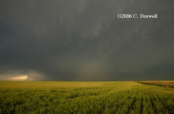
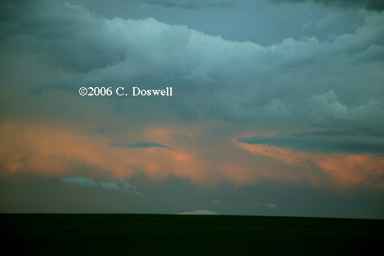
We left the house about 10:15 am and drove all day to wind up about 5 miles north of Burlington, CO about 7:15 CDT, to see an approaching supercell. Before that, while we were still in KS and hurrying west on I-70, it looked like it came close to producing a tornado and had a heck of a hook echo and a "wheel of fortune" (126 mph - 4 miles wide) at the time. By the time we got set up, it had lost the look of an imminent tornado, but was still a nice supercell with a substantial hook and more or less continuous "wheels" for quite some time. As it approached Burlington, it took on more of a flying saucer look and we got some decent shots of it there. Then, we dropped south of Burlington by about 9 miles and eventually followed the storm east to near the KS border. Some nice shots from south of town, when it looked like the flying saucer in "Independence Day" crashing to Earth. As it moved east, it took on something of a "soda can" look. Finally, a very nice sunset with mammatus, etc and perhaps a lightning shot or two came out. As the storm moved east, we lost sight of the towers. All in all, a pretty good chase day - short of a tornado, of course. As the evening moved toward sunset, a shaft of light lit up the underside of the anvil.
If we had had 5 deg F better dewpoints, maybe this storm would have been a better tornado threat - it was relatively high-based, and never really developed a threatening lowering. But it was a very nice storm, anyway. Especially after a 600+ mile drive. Definitely worth the effort!
Route: Burlington, CO, west on I-70 to CO71, north about 10 miles, then back south to I-70, east to HYS
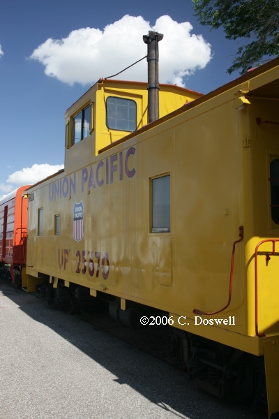
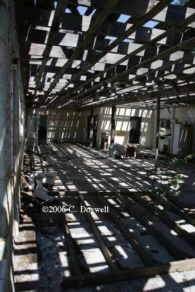
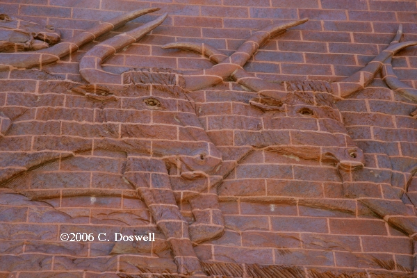
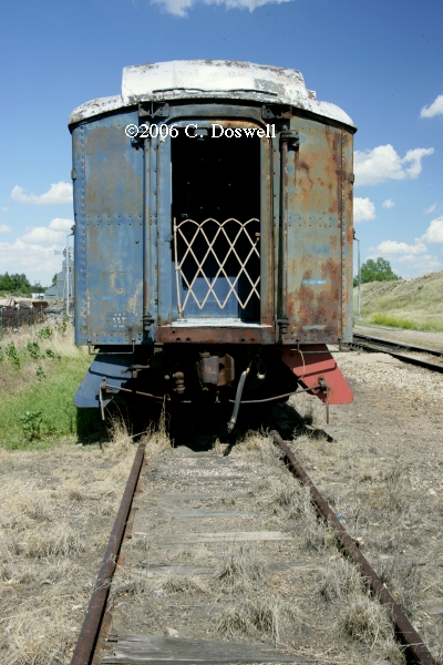
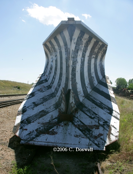
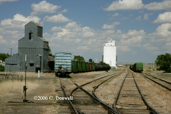
Storms failed to move off the mountains in time and we chose not to go north after storms developing in WY and into NE. We wound up hanging around the Limon, CO Heritage Museum, shooting the exhibits, including their railroad cars.
Route: HYS, east on I-70 to I-135, south to I-35, south to I-40, east to Sooner Road, to OUN
Completing the trip home.
Part 3: Chasing with Tempest Tours
Route: OUN, , north on 24th Ave NE to Franklin Rd, west to Sooner Rd, north to I-240, west and north to Airport Rd, north on Meridian Ave to I-40, west to TX70, north to TX152, west and north to 14 mi east of Dumas, then back east to FM1060, north to FM1573, west to FM119, north to US54, northeast to OK95, north to US64, west to US287/385, north to LAA
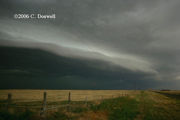
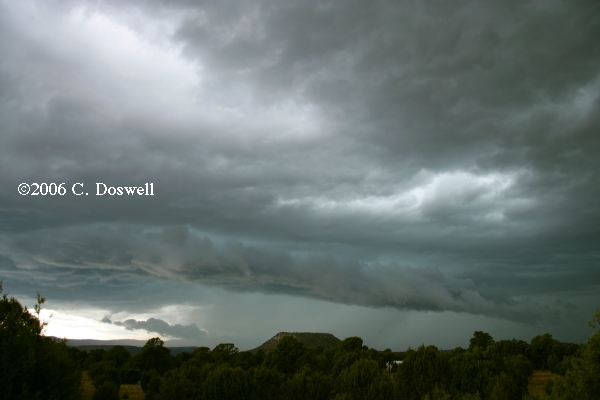
Picked up the guests and went after storms developing on the boundary of the 60 dewpoints in the TX panhandle. The shear profile must have been wrong, because the dominant storms were north-flank updraft storms, although they occasionally had an interesting look. We stayed with these for a while, and then headed toward a squall line moving southeastward into the OK panhandle. Got some more shelf cloud images to add to my collection. Then we headed north to get into better position for a possible play tomorrow.
Route: LAA, north on US385 to I-80, west to US385, north NE2, northwest and west to US71, west to Cutacross Road to NE29, north to 4 mi north of Agate, then back south to Cutacross Road, east to NE71, east to NE2, to AIA
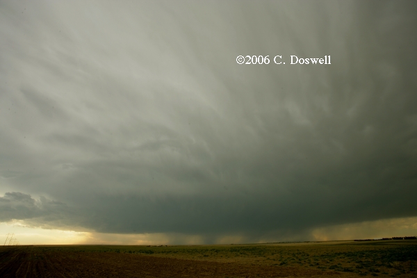
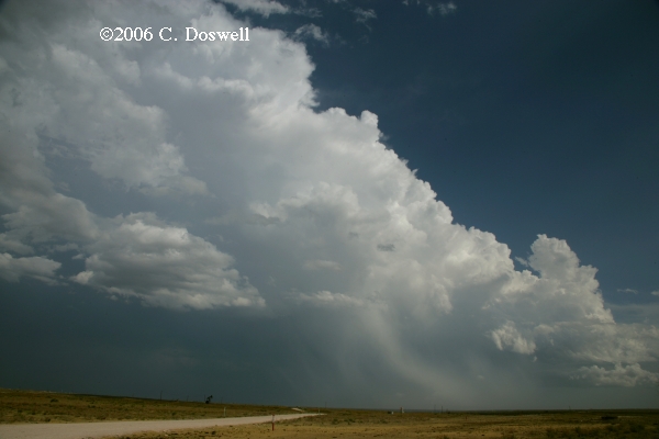
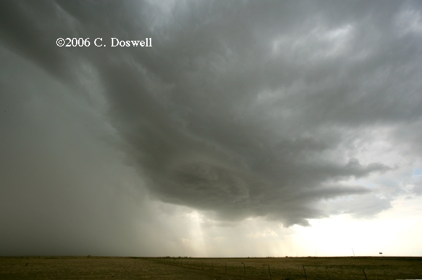
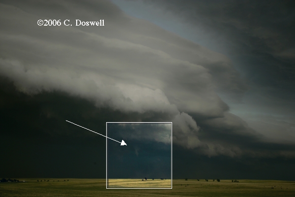
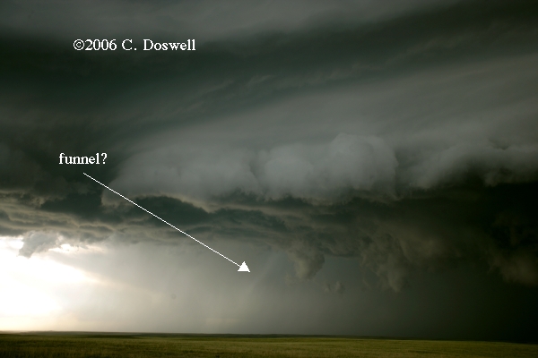
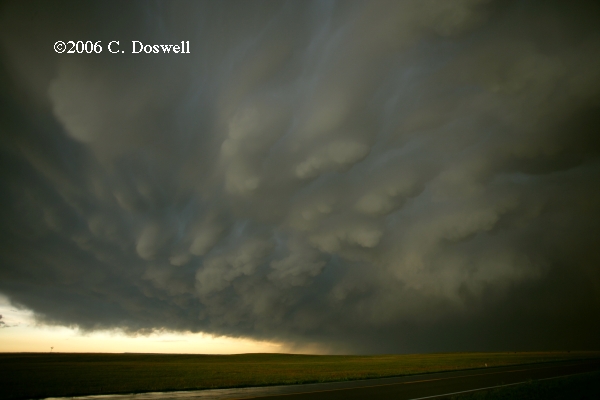
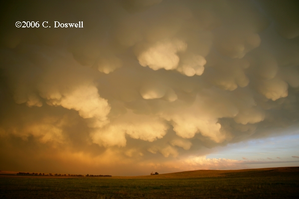
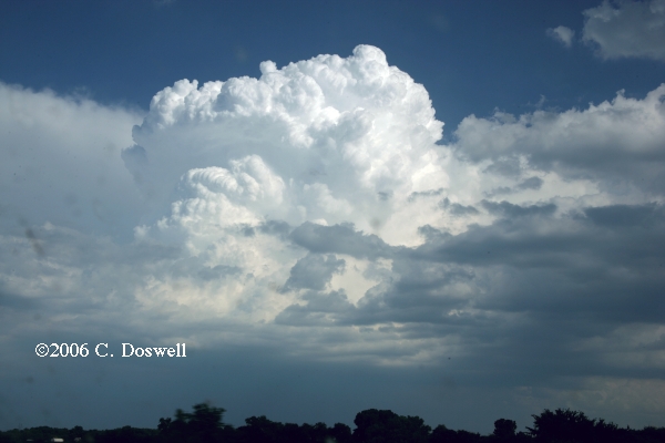
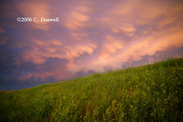
An excellent chase day. We had a long ways to go and saw storms developing northwest of BFF while we were still in Wray, CO. As we approached them, they fizzled as they came toward BFF, but a new storm developed farther north in WY. So we kept pushing north and west, finally enountering a dramatic HP supercell, which we watched for a while. At about 7:05 pm MDT, it produced a brief tornado (about 2.5 min, according to my video) with a funnel about halfway to ground (the guests were able to zoom in and kindly supplied images here and here) and a dust whirl beneath it, right in the “notch” where we hoped it might. At the same time, to the west, we sawsomething embedded in precip that might or might not have been a funnel [NOTE: Upon further review, it's likely to be a shaft of light on the precip.]. After that, the storm evolved quickly into a squall line/MCS. As we dashed south to stay ahead of it, we noticed some interesting mammatus, so we hung with it until the sun came under the anvil near sunset and it produced a beautiful show for us late in the day.
Route: AIA, south on US385 to LIC, southwest on US24 to COS, south on I-25 to PUB, north on I-25 to COS, south on I-25 to TAD.
Thought we had a chance with upslope in CO, but the cap held to the east and the only storms were tucked up close to the Front Range.
Route: TAD, south on I-25 to NM3, south to I-40, east to TCC
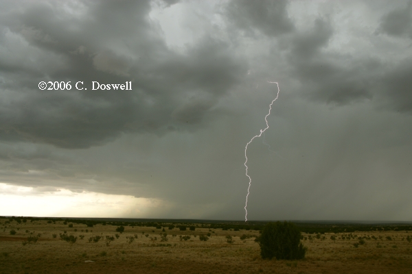
Mostly turned out as we expected. For whatver reason, we were unenthused about storms on the plains so we chased the storms that began early in the day near Raton, NM, and developed southward coming off the northern NM mountains. These turned out to be primarily multicell junk, blowing outflow hard to the south and then leapfrogging southward on the nose of that ouflow. We stopped for some lightning photography just south of Santa Rosa, NM and then bagged it.
Route: TCC, northeast on US54 to LBL, north on US83 to US56, northeast to GBD
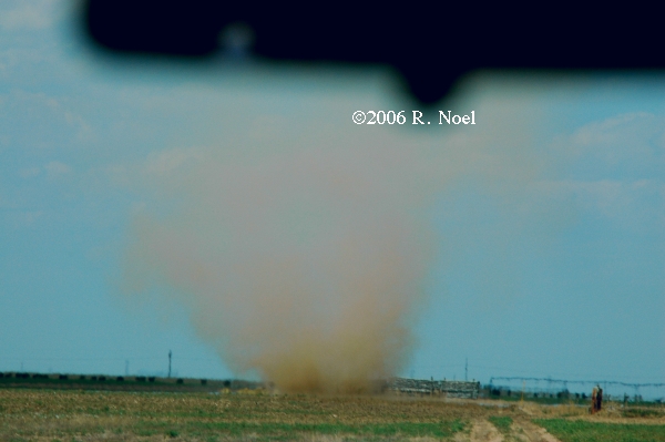
A repositioning day. Chased a dust devil 15 mi southwest of Texoma, OK, and the guests were given a tour of the DDC NWS office, courtesy of their gracious staff.
Route: GBD, north on US281 to US6, east to NE33, southeast to NE103, south to US77, south and east to US36, east to KS87, south to KS9, east to KS187, north to US36, west to Marysville, KS
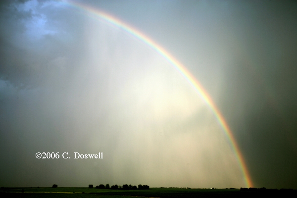
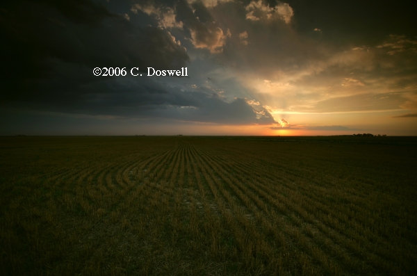
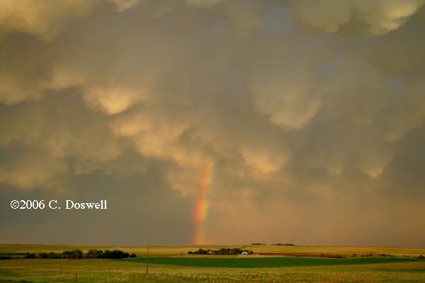
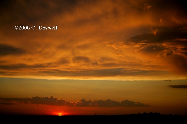
A good storm chase day with a very serene and lovely ending. Given relatively high dewpoints in south-central NE, we thought this would be the best play, but the storms were mushy and small, while storms near LNK looked stronger on radar, so we abandoned the original target and pushed east. As we approached them, new cells developed right in front of us and the chase was on. Although they were also high-based, the updrafts clearly were stronger than the ones we abandonded. Some interesting lighting was seen in association with what we took to be a hailshaft. Eventually, we were chasing their rainbows, and then as they moved away from us toward the south-southeast, the light got better and better. We watched a lovely cloud and light show as the sun set to the musical accompaniment of birds and frogs. A dramatic and yet peaceful way to end a chase day on a high note that began with low expectations.
Route: Marysville, KS, north on US77 to I-80, west to NE15, north to Seward, NE, then south on NE15 to I-80, west to GRI, north on US34/281 to NE2, northwest to BBW, then west and southwest on unnumbered county road to Callaway, NE, then south and west on NE40 to unnumbered county road to Cozad, NE, then southeast on US30 to Lexington, NE
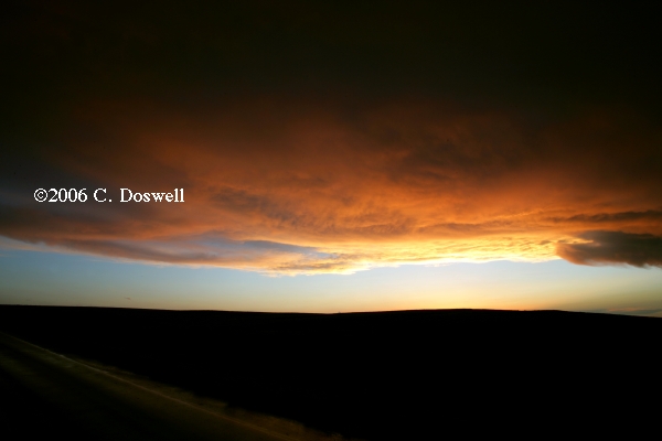
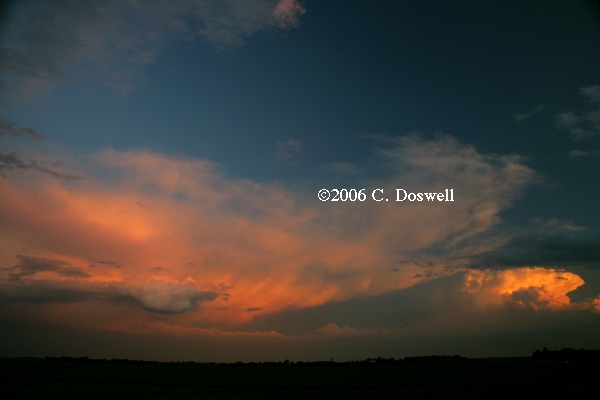
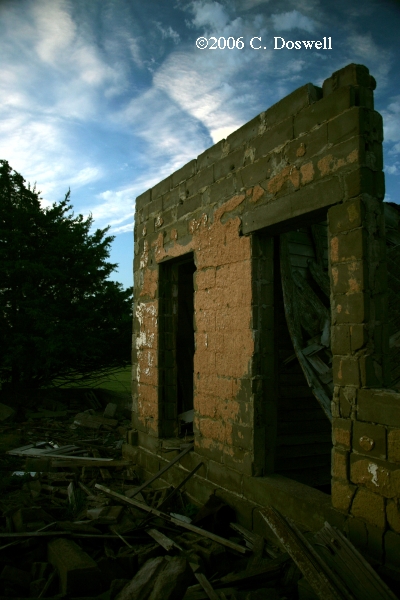
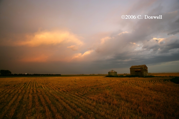
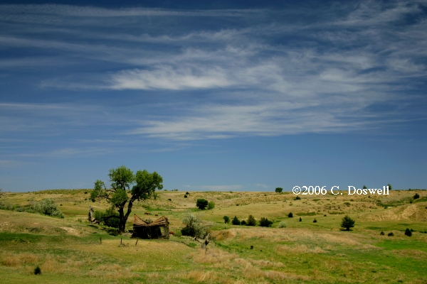
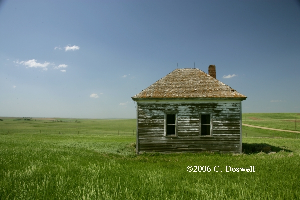
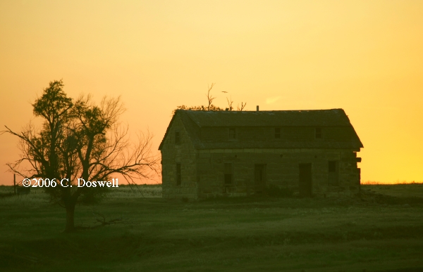
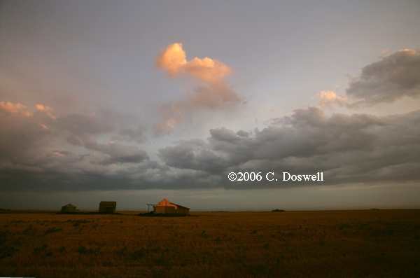
For some reason, the best airmass with relatively high dewpoints and good wind shear to the north of a warm front stayed clear all day, so our hopes for a supercell or even a decent storm died as the day wore on. We wound up south of Callaway, NE doing some abandoned home photography late in the day and had a classic plains sky-on-fire sunset.
Route: Lexington, NE, south on US283 to I-70, west to US40, west to US83, south to road to Monument Rocks, east on country roads to KS23, south to US56, southwest about 7 miles, then northeast to DDC
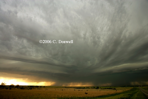
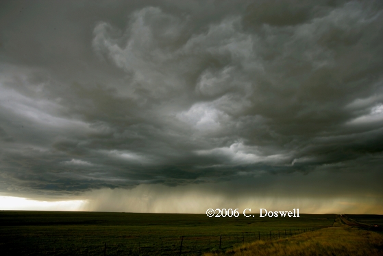
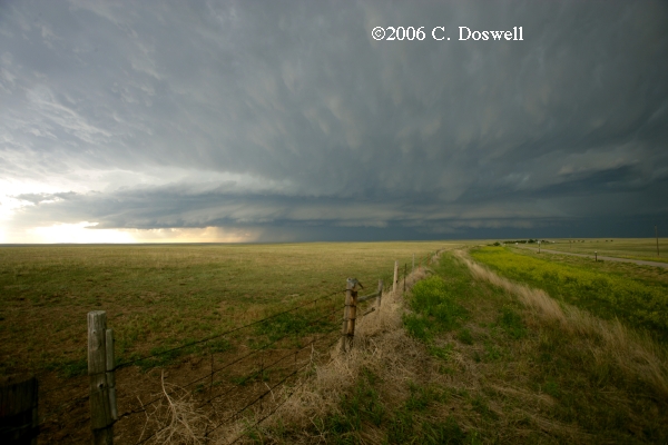
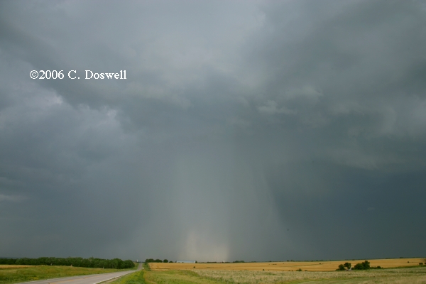
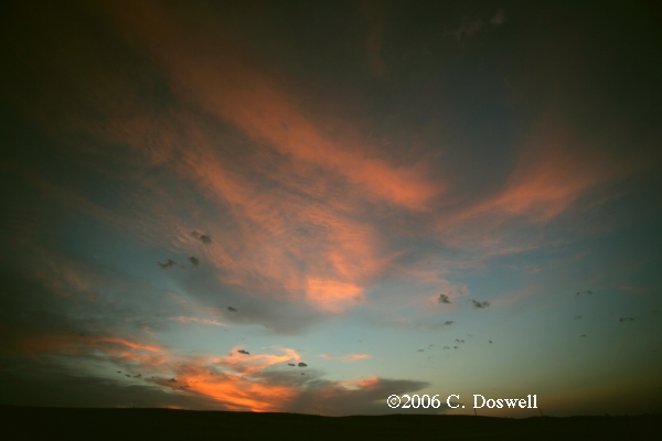
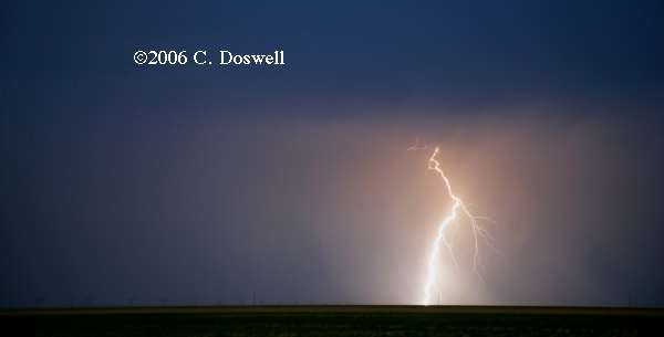
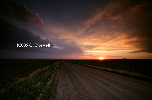
A fair chase day. Fooled around at Monument Rocks for a while as storms began to develop to our east. Then we took some country roads and finally hooked up with paved road again, where we went south to stay with the storms, which were strong multicell storms. We saw some hailshafts while near Gove when the storm was severe-warned and then again near Dighton. As we continued south, the storms were pouring out huge amounts of outflow and pushing this southward and westward, with redevelopments along a squall line oriented northwest-southeast near Dighton. Then as it got late, we found a fair situation south-southwest of Cimarron, KS for sunset light and the sunset-illuminated anvil, and then some mediocre lightning south-southeast of Cimmaron.
Route: DDC, east on KS400 to Bucklin, KS, south on KS34 to US183, continued south to US270, southeast to I-40, east to OKC, then east on I-40 to I-240, south and east to Sooner Road, south to OUN
The end of the tour trip home.
This has not been a good year for getting the ingredients for supercells and tornadoes together. The big issue is always the combination of moisture and shear, and this year the two have not been in the same vicinity very often - hence, a lack of tornadic storms.
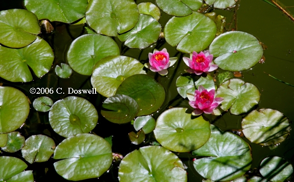
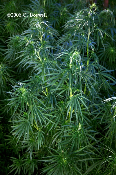
As always, we have a good time, but the dry winter and spring has also meant a lack of wildflowers. We saw only a few places with wildflowers and those were relatively subdued, even in some of my favorite traditional locations. If this is what global warming means for the plains, we will be much the worse for it. Hopefully, this is just a fluctuation.
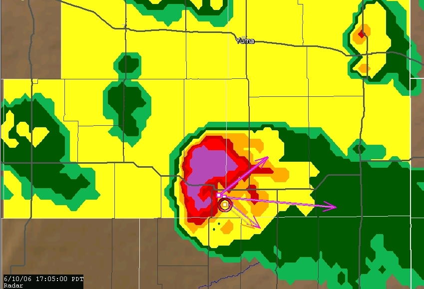
Meeting good friends is also fun, either before or after the chase. I've mentioned those meetings in the daily logs, above. Thanks to John Monteverdi for allowing me to use his photo of Vickie and me (and Thom) and for the ThreatNet image of the hook echo with the 10 June storm. My thanks also to the guests on my Tempest Tours chase with Bill Reid (Tour Director extraordinaire), for allowing me to use some of their images.
These have been updated and consolidated into a single new page, here. Only a few new additions.