NOTICE .. Any duplication, electronic or otherwise, of the images at this Website without my expressed permission is a copyright violation, and I will treat it as such. Do us both a favor and ask me for permission before using any of the images herein ... you can e-mail me at cdoswell@earthlink.net.
NOTICE .. All images on this page have been shot with a digital camera, or captured from digital video, with some enhancement (to make them look more like reality or to enhance the image quality). I do not alter my images to put in things that were not originally in the image and I do not make digital composites to make scenes that I did not actually see. I might, at times, remove clutter like power lines.
Route notation: "USXX" denotes US highway XX, "I-xx" denotes Interstate highway xx, "SSxxx" denotes state (SS) highway xxx, "FMXX" in TX denotes farm-to-market highway XX. Wherever possible, cities that are National Weather Service sites are identified with the appropriate 3-character identifier.
The abbreviation MTN stands for "Mobile Threat Net" - mention of a commercial product does not imply an endorsement.
Route: OUN, north on 24th St, to Franklin Rd., east on Franklin Rd to Sooner Rd, north to I-240, to I-40, west to spurUS281/US270, northwest to Fort Supply, OK, west on US270/412 to OK46, north to US64, east to Buffalo, OK, north on US183 to US160, east to near Coldwater, back south on US183 to US160, south to Buffalo, OK, then north on US183 again, to about 10 miles north of Coldwater, then back south on US183 to Fort Supply, OK, southeast on US183/279 to I-40, east to I-240, south and east to I-35, south to O77 to Robinson, east on Robinson to 24th St, and home.
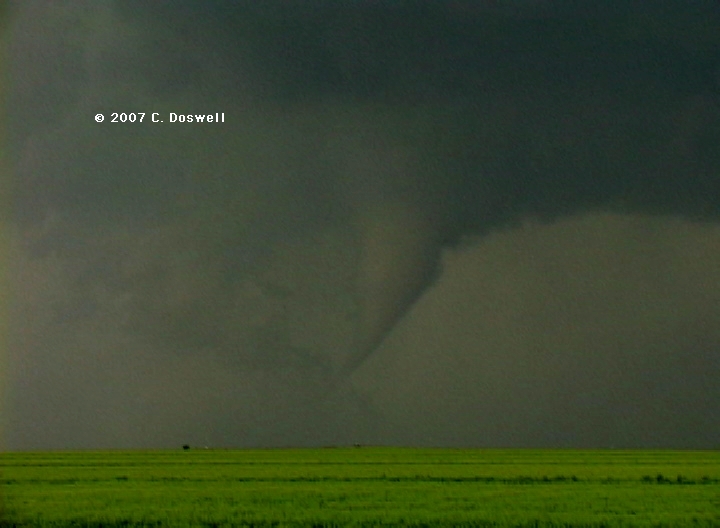
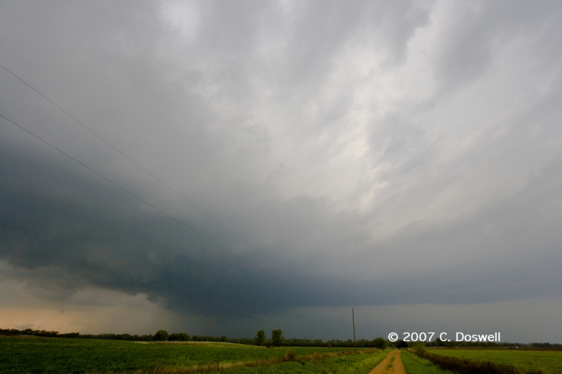
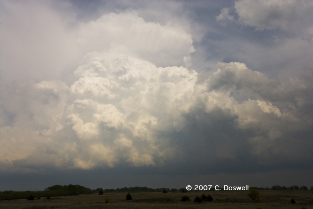
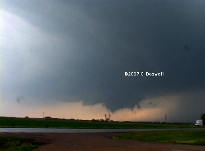
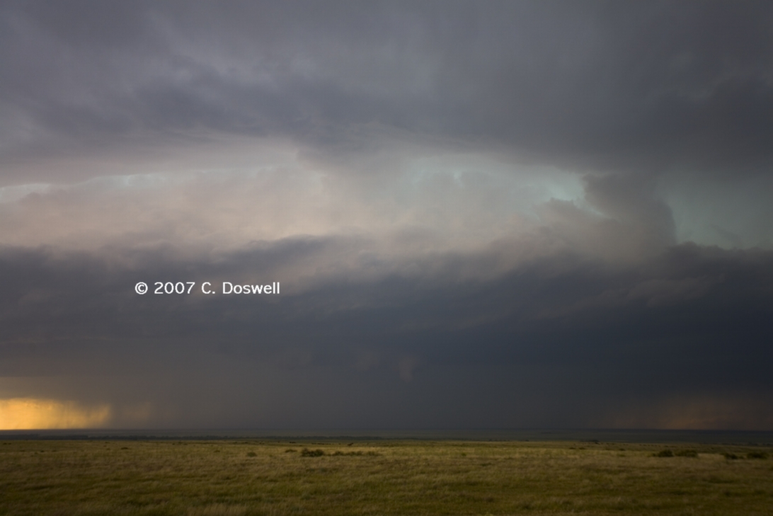
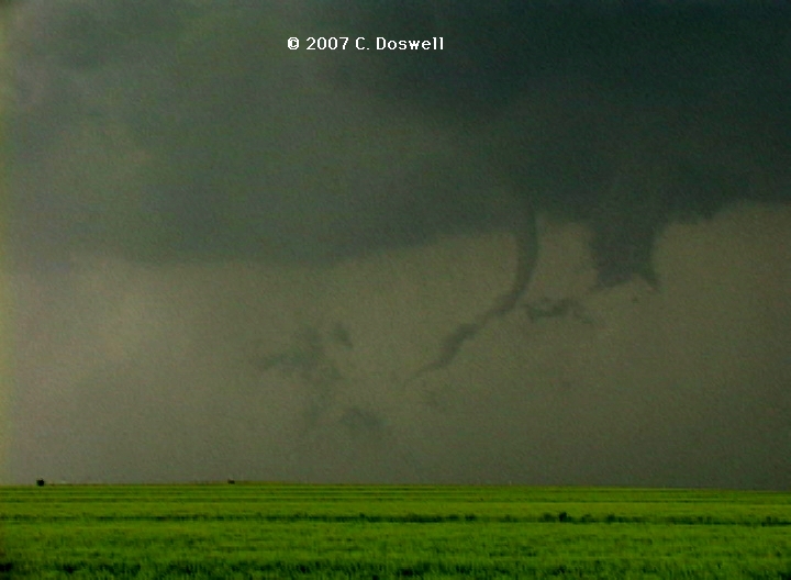
A frustrating day. We repeatedly intercepted some promising storms coming out of the TX panhandle, and followed them northeastward into southern KS, but we wanted to avoid the mess around Greensburg, KS after the EF5 tornado of the day before, so we kept breaking off and going back to catch the next storm coming up in the series. Basically, it seems the storms were producing tornadoes only after we broke off of them - they did have some interesting features but it was difficult to see them with our eyes - they show up better on the images than to our eyes at the time. We saw what seemed to be a multicell storm after we gave up on the first storm - this might have been one of the tornadic storms. At the end of our second cycle, we encountered a rapidly-ascending wall cloud with weak rotation near Protection, KS, but it also moved off towards Greeensburg, and seemed to cycle down. After the third try, we gave up and headed home. Matt Biddle was our driver and it was a good chase, but without MTN, so we were "blind" and having to go visual. Visibility was poor, actually. The storms seemed disorganized and apparently were cycling down (when we broke off) and then up (after we left them).
Part 2a: Chase Vacation w/Vickie
Route: OUN, north on 24th St, to Franklin Rd., east on Franklin Rd to Sooner Rd, north to I-240, to I-40, west to spurUS281/US270, northwest to Woodward, OK
Basically, a positioning day and nothing else. A late start and an early stop.
Route: Woodward, OK, northwest on US270 to Fort Supply, northward on US183 to US64, west to US83, north to I-70 north of Oakley, KS, then west to US385, north to AIA
Another positioning day with zero expectations, so it was nice to see some storms develop in central NE and northeastern CO, We got a few nice shots looking north and south of where we turned off US385, and made it into AIA for the night.
Route: AIA, north on US385 to SD79, north to RAP, then north on I-190 to I-90, east to Bypass US16, southwest and south several miles to somewhere on Catron Blvd, then back the way we came, then south on I-190 to US16 to Alt US16, south to Keystone, then southeast on SD40 to about 8 miles east of Hermosa, SD, then back to SD79, then north to RAP
An early chase, with much confused wandering about the RAP area. A supercell developed west of town, and moved slowly southeastward. It looked pretty good at the beginning and then cycled down. We headed south for awhile, and were giving up on it to head northwestward, but then it cycled up again and we raced south - a bad choice - we had to drive away from the storm when it began look pretty good on MTN, but by the time we hooked back up with the storm, near Hermosa, SD, it had begun to evolve into a mess. We headed back to RAP early, in hopes of more success tomorrow.
Route: RAP, north on I-190 to I-90, east to Kadoka, SD, south on SD73 to NE61, continuing south to NE2, east to NE97, south and then southeast to US83, south to LBF
Busted because of thick cirrus overspreading SD and NE, so it turned out to be a repositioning day, in hopes of a good day in KS tomorrow.
Route: LBF, south on US83 to USZ36, east to US283, south to about 8 south of WaKeeney, then north on US283 to about 10 north of WaKeeney, then east about 8 miles on unnamed country road to another unnamed country road, then south to exit 135 on I-70, then west to exit 85, then east again to exit 95, north on KS23 about 8 miles, then south again to I-70, then west and northwest to Colby, KS
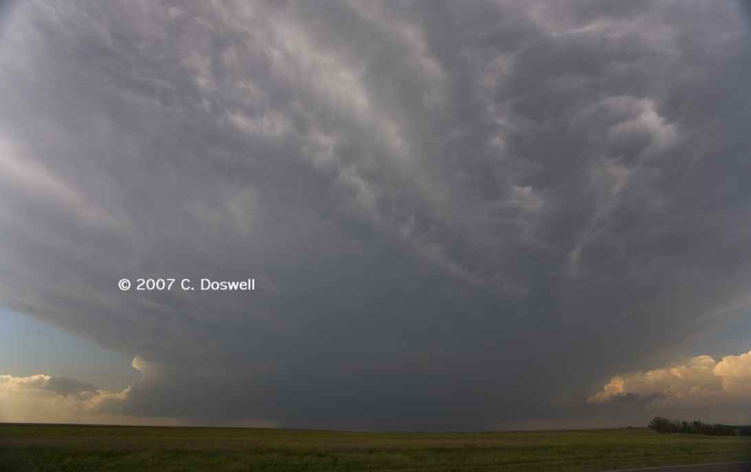
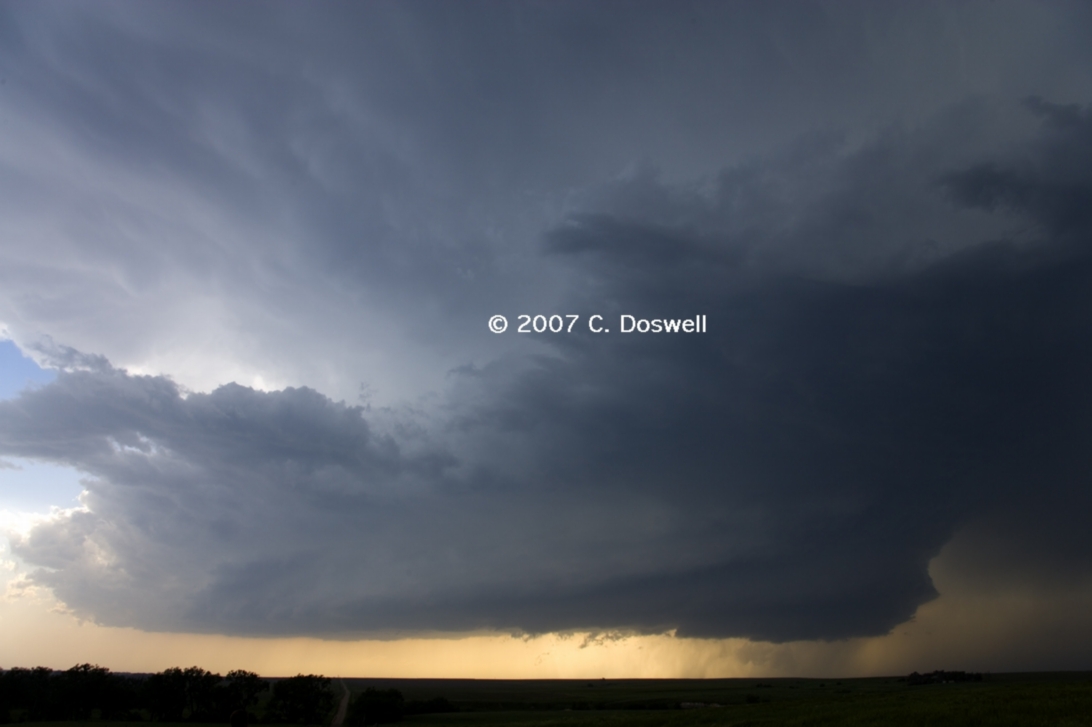
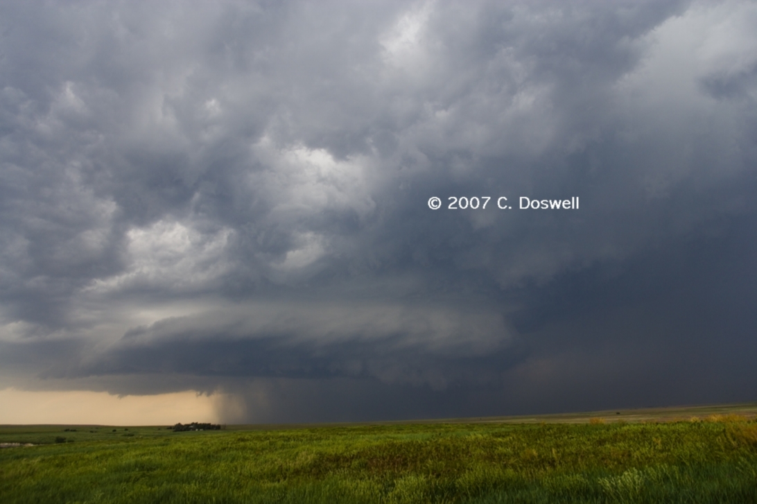
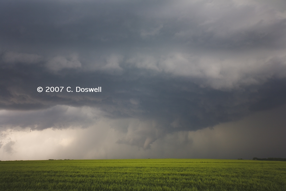
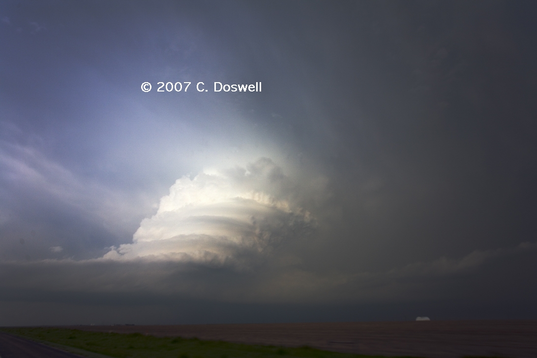
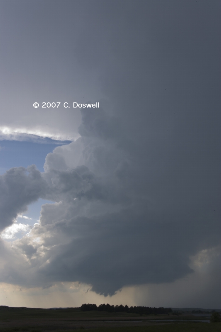
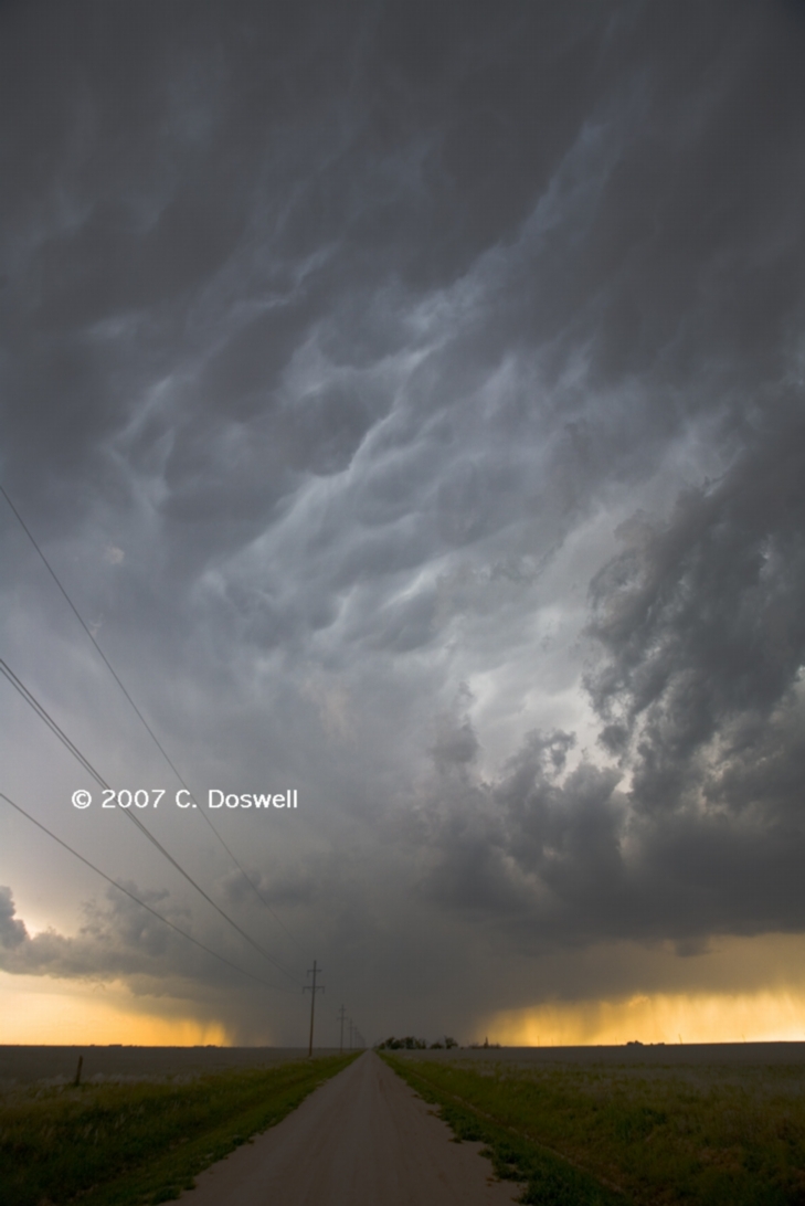
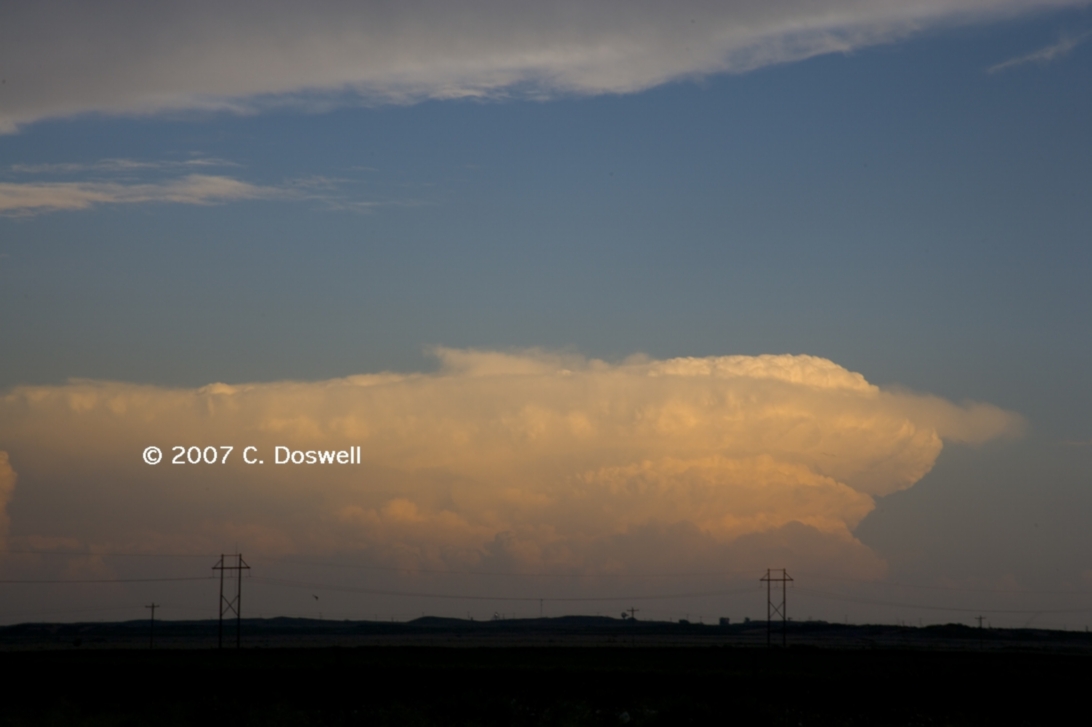
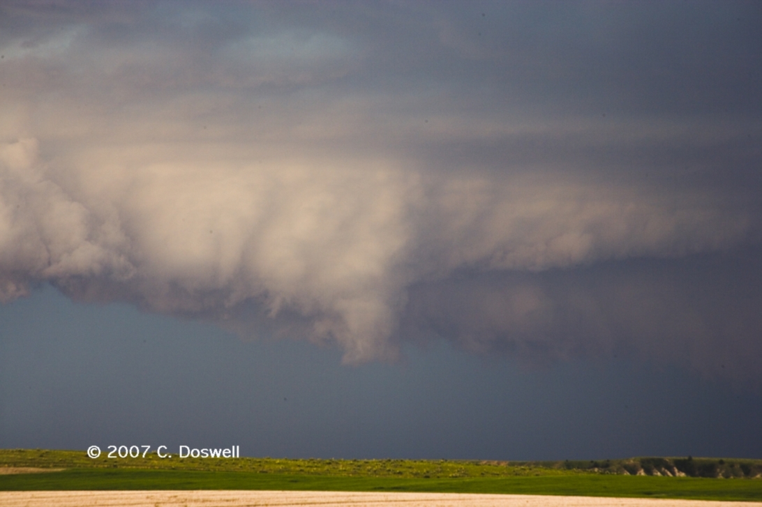
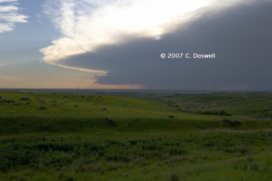
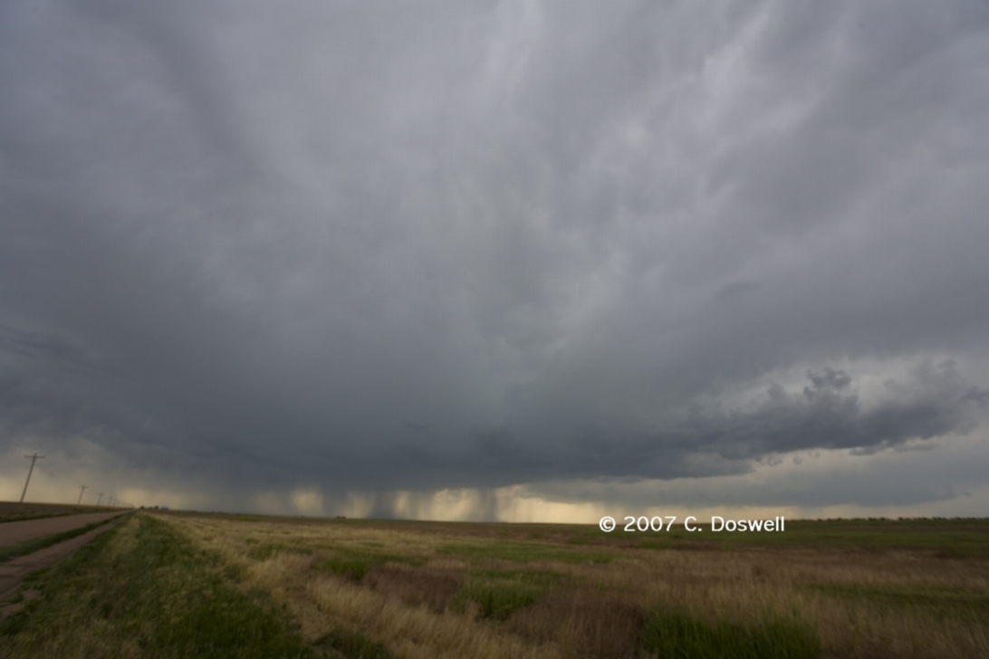
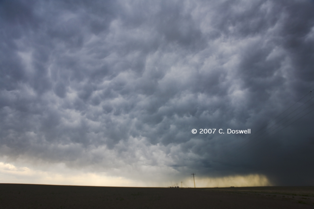
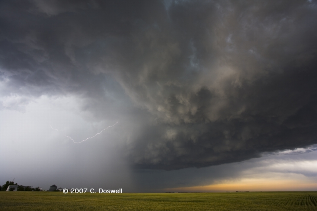
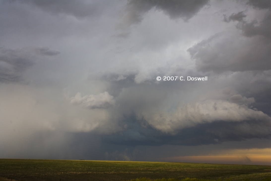
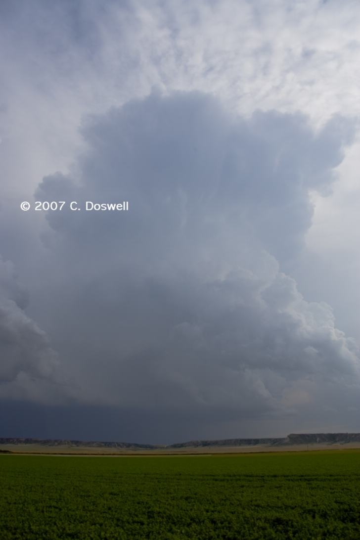
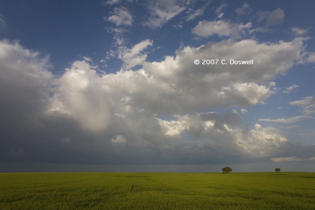
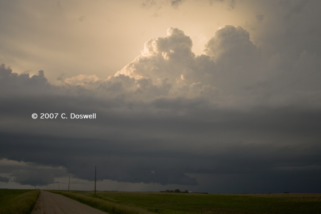
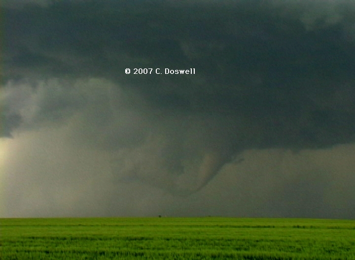
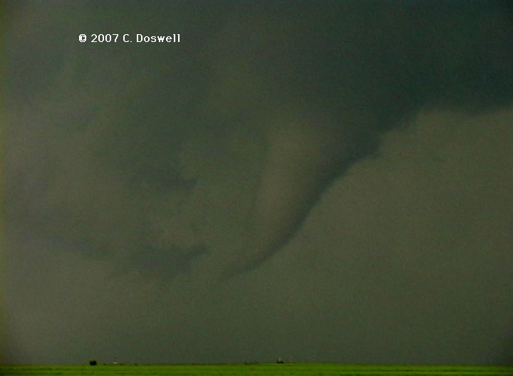
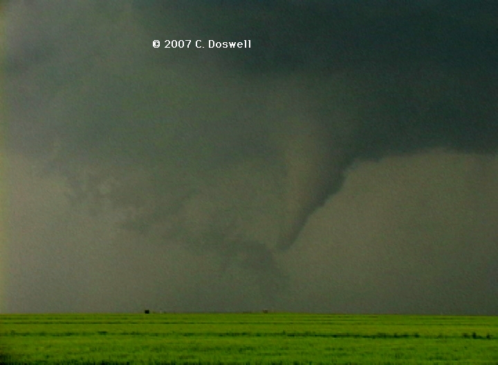
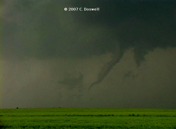
A pretty good day. Waited around WaKeeney for things to get going, and then drifted south to watch the initiation. The storm grew rapidly, producing several cells from a slow moving initiation point. These moved off northeastward, with a rapidly-growing anvil and mammatus. The two southernmost storms were the most interesting. The one north of the southernmost came close to producing a tornado as we moved northward to stay with it. Then, the southernmost storm took over and looked great for a long time without producing a tornado. Finally, we moved northward a bit more and got under the base where it soon produced an apparent tornado (no condensation to ground nor no obvious debris) before we finally gave up on it. As we dropped south, the flank of the storm exploded into new storms which we had to punch - luckily between cores. A new storm was coming east-northeastward toward Oakley, so we rushed west to intercept it. As we moved toward it, a spectacular storm structure became apparent – a wildly dramatic “barber pole” with multiple inflow bands. It might have produced tornadoes, but we didn’t see them. Finally, as it was getting dark, we gave up and put down for the day.
Route: Colby, KS, southeast on I-70 to US83, south to GCK, east on US50 to DDC, south on US283 to US60, west to TX213, northwest to FM1464, north about 15 miles, then back south to TX213, west to TX 305, south to US60, southwest to US83, northwest about 10 miles, then back south to TX23, north to FM3260, east to FM1920, south to US60, southwest to TX70, north about 20 miles, then back south to US60, southwest to AMA
Not a bad day, but disappointing, given our relatively high expectations. After some indecision, we ended up seeing a nasty HP supercell south of Perryton, TX - since we were seeing it from the south, rather than looking into the "notch", it was impossible to see any possible tornadoes. We dodged the large hail and dropped south and then west, then back north from Pampa, TX to watch another supercell for a while. We might have seen a distant tornado dimly (bad contrast against the haze and precip background). After that, it was getting late, so we gave up. No motel rooms in Pampa, so we had to push on to AMA!
Route: AMA, north on US287 to TX152 east to TX136, north to TX207, northeast to FM281, east to US283, south to US60, northeast to US283, north to US270, west to US83, north to LBL
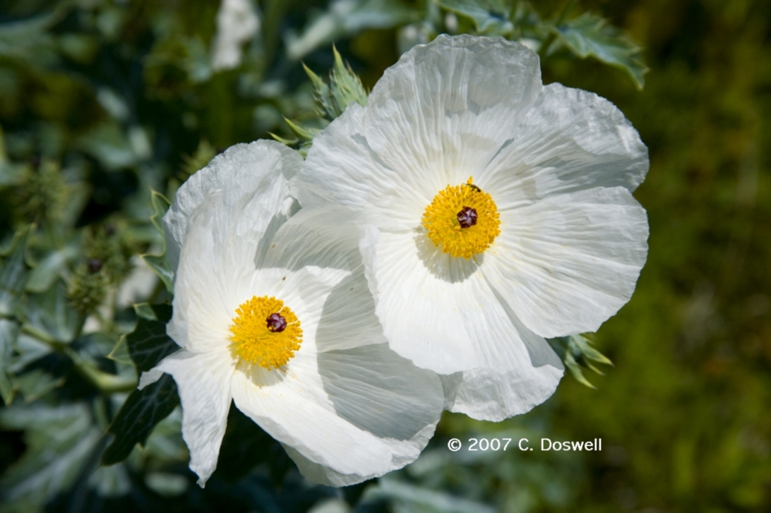
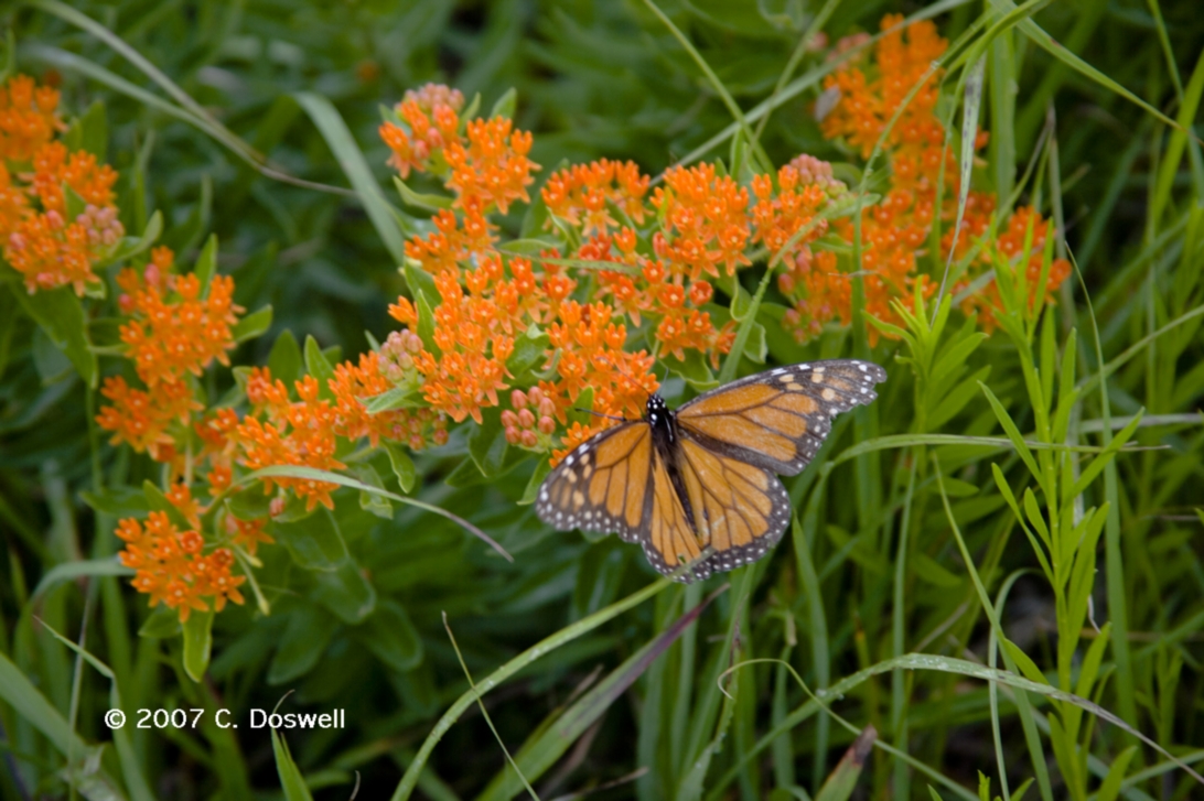
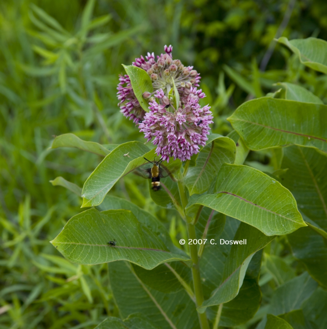
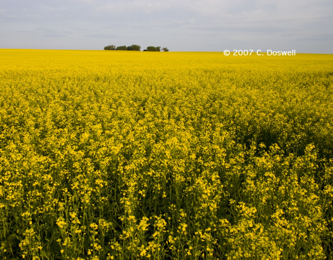
A leisurely day of photography. Drifted towards southwestern KS, stopping along the way to do various subjects, including wildflowers.
Route: LBL, north on US83 to US50, southeast to DDC, then north on US283 to I-70, west to Colby, KS, then south on KS25 to US40, southwest to Winona, KS, then north on CO Rd 230 to Thomas County line, then back south to US40, northeast to KS25, north to Colby, KS
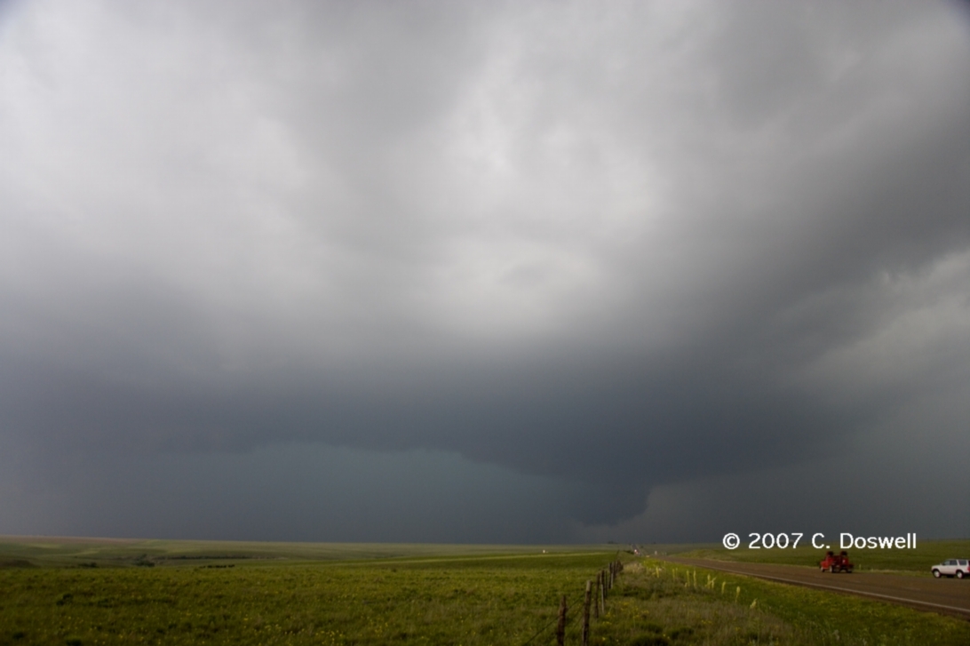
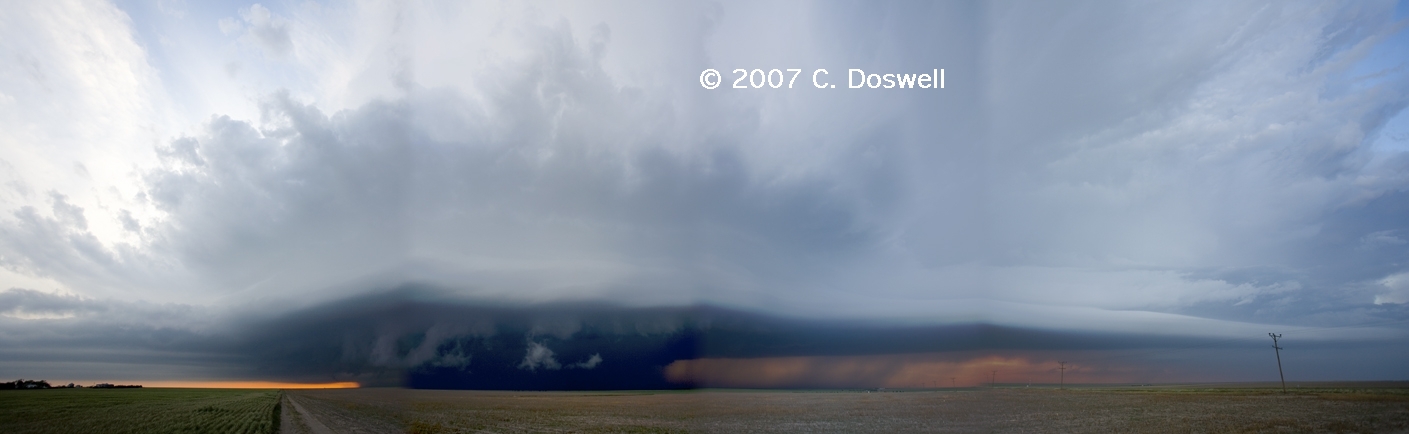
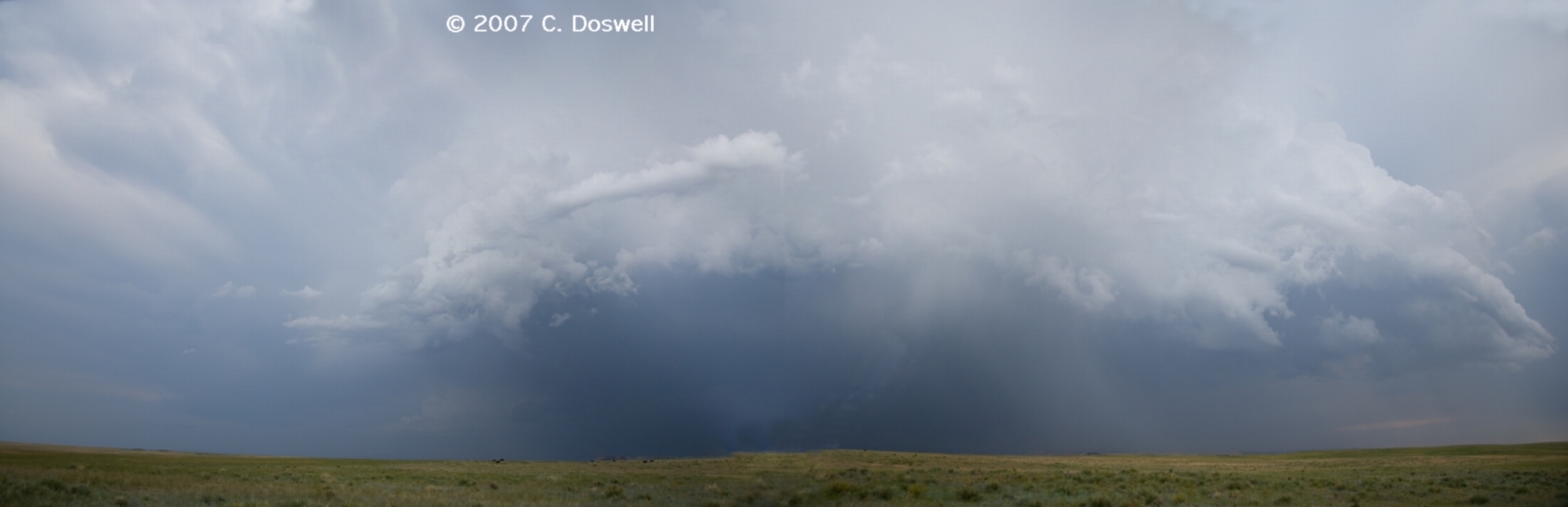
A good day with a very nice finish. We did wildflower photography for most of the morning and early afternoon and headed to Colby, KS for the end of the day. While we were in the motel, a supercell developed to our immediate southwest, so we drove out to see it. It had beautiful structure, with a long inflow beaver’s tail and a strong updraft. When we got close, we saw there were curtains of hail falling in front of the mesocyclone, where the inflow tail from the east jointed the storm. Another supercell was just west of the lead storm, following its wake. Eventually, the RFD filled with precip and the storm became very HPish. Here's a panorama, showing the whole structure. It was coming right at us, and it was getting late, so we went back to the motel for a late, but very happy, supper.
Route: Colby, KS, west on I-70 to LIC, southwest on CO24 for about 10 miles, then back northeast to I-70, northwest to Strasburg, CO, north on Strasburg Rd about 9 miles, then west 1 mile, then back east and south to I-70, back southeast to LIC, with a stop at the Deer Trail exit
A good day, but nothing fantastic. Met the original Twister Sisters - Kathy Velasquez and Linda Kitchen - along with Jack Corso, in Colby. Then met Tim Marshall, Dean Cosgrove, Stuart Robinson (from the U.K.) and others in LIC. From there, John and Thom went on to DEN, while Vickie and I first did some wildflower and scenic photography, and then chased a storm that began north of Denver and moved southeastward toward Strasburg, CO. We intercepted the storm north of Strasburg and chased it for a while, and it might have been weakly rotating from time to time, but nothing significant. Later, we moved out where we got a nice view of the flank, from near the Deer Trail exit on I-70. But after that, the storm rapidly diminished.
Route: LIC, north on CO/NE71 to I-80, east to NE2, west NE250, north about 28 miles, then south about 6 miles, then north to US20, west to US385, north to SD79, north to I-90, west to I-190, south to RAP
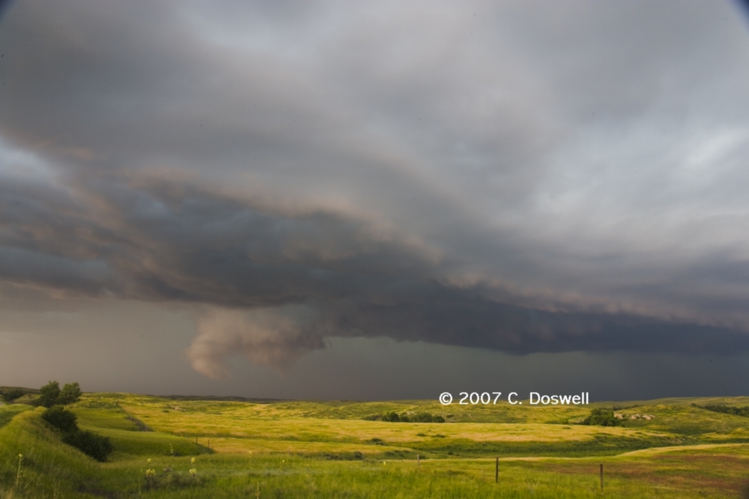
Another good day. Wildflower photography along the way, and then we intercepted an LP supercell in northwestern NE, which we watched and enjoyed for a couple of hours. It came close to being tornadic several times, but no steak dinner tonight. John Monteverdi and Scott Landolt returned from DEN and we met at our storm - they had seen a tornado earlier, near Sidney, NE.
Route: RAP, east on I-90 to US83, north to ND11, back south to PIR
Cirrus did us in, combined with a stout cap. Made it to the forecast target, the triple point on the SD/ND border northeast of MBG, but nothing fired.
Route: PIR, south on US83 to I-90, west to I-76, southwest to US385, south to 4 miles south of the Phillips CO line, then west for 1.5 miles, then back to US385, south to US34, west about 8 miles, then back east to NE/KS27, then south to GLD
A decent chase day. We managed to intercept a pretty decent isolated supercell northwest of Wray, CO, but rain forced us to move, and from then on, it was a frantic race to see an isolated storm before new convection blew up around it. Finally, it pushed a gust gront about 10 miles out ahead of the complex and we raced along with it for a while. Saw numerous gustnadoes and experienced wind gusts of around 60 mph or so.
Route: GLD, east on I-70 to US83, south to US54, southwest to GUY
A repositioning day, plus a chance to take care of various and sundry needs before what we think could be a good day tomorrow.
Route: GUY, west on US84 to US385, north about 7 miles, then back south to US64, east to US56, northeast to OK171, north about 6 miles then back south to US 64 to OK95, south to US54, southwest to Stratford, TX, then back northeast to GUY
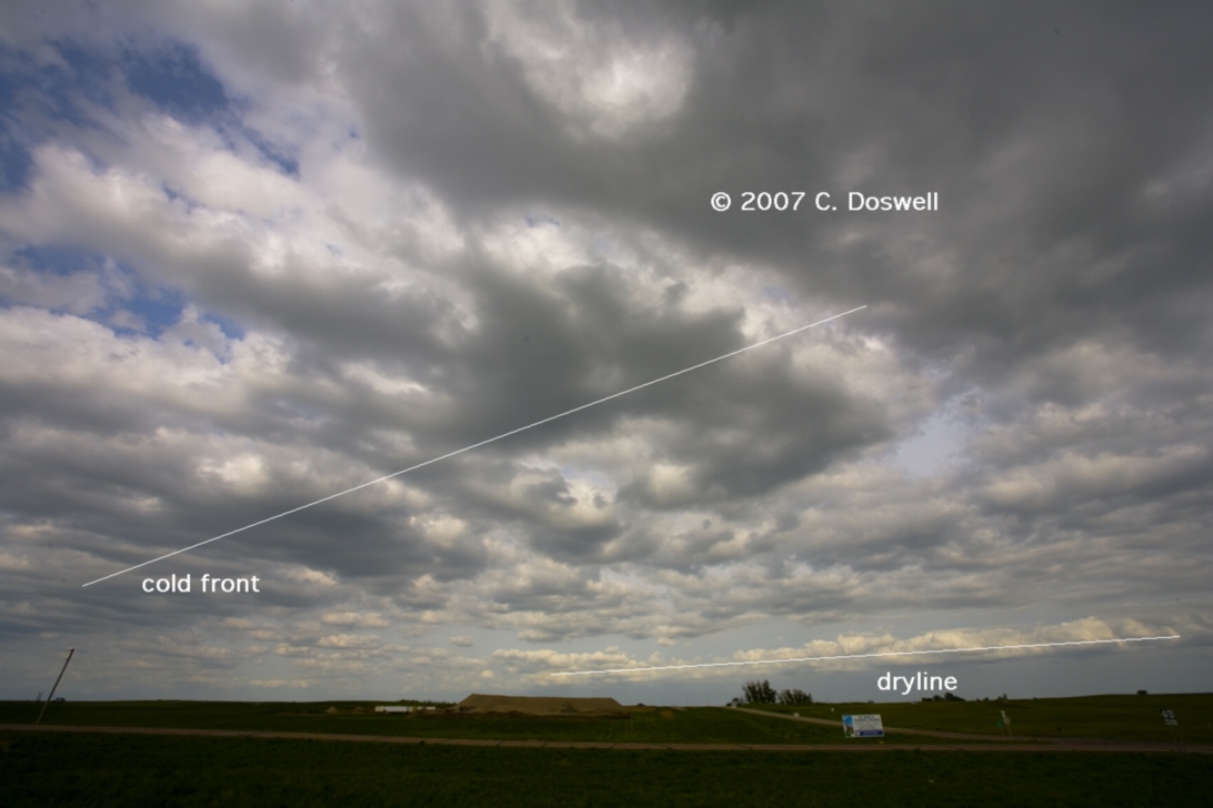
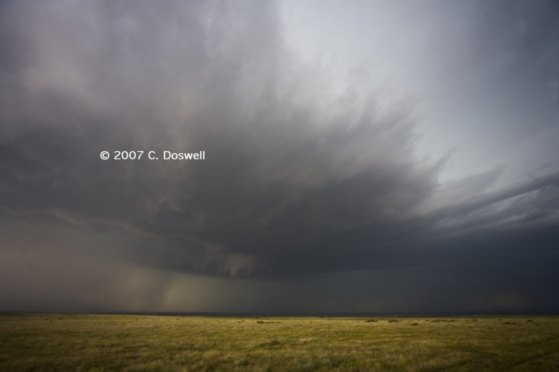
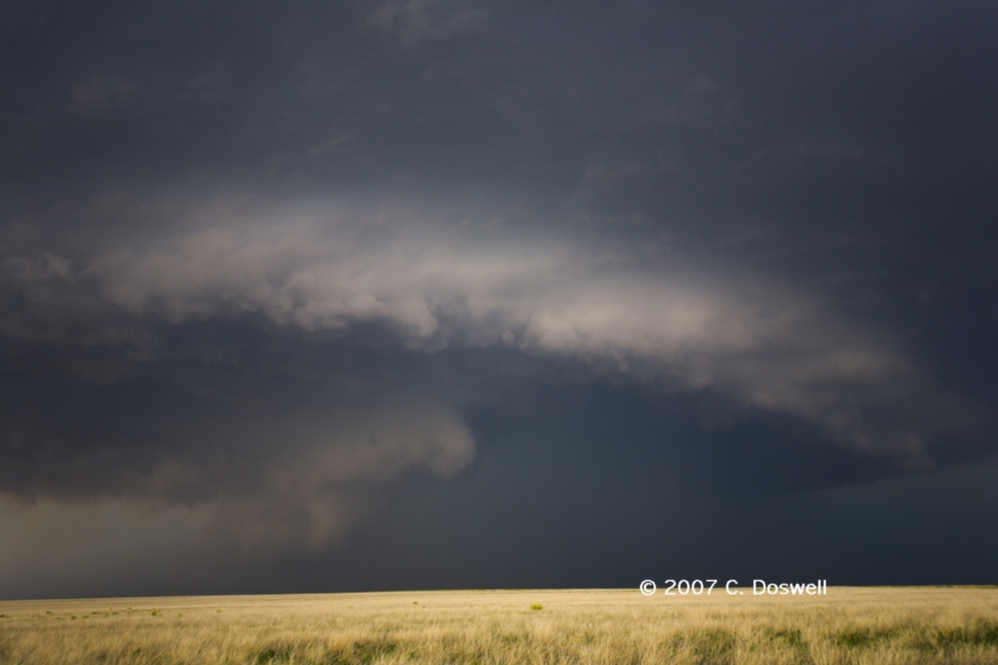
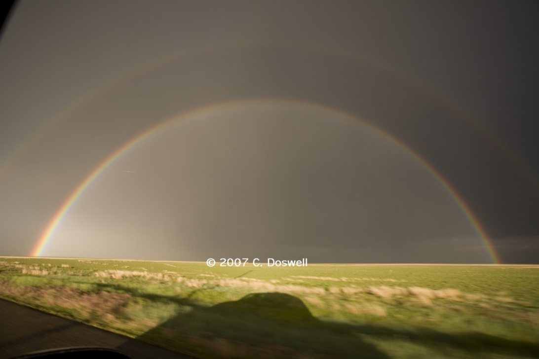
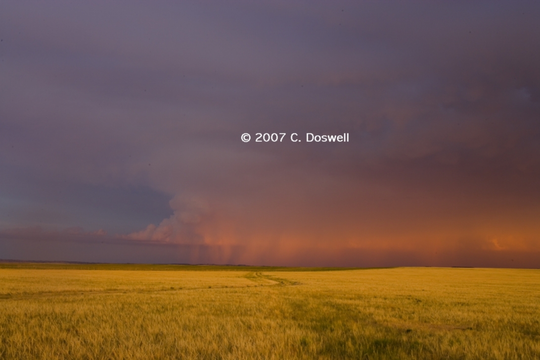
Again, a decent chase day, but we had higher expectations. Got on the storms developing in extreme southeastern CO fairly early – they looked rather poor in the relatively dry air but slowly improved as they moved eastward into deeper moisture. One storm became the dominant one, - an HP supercell that kept wrapping mesocyclones in precip. It came very close to being tornadic and might have produced some brief touchdowns but we couldn't be certain from our viewpoint. Our mistake was to give up on it too early and attempted to go after an isolated storm farther south that was moving into better air - but died before it reached that higher moisture. Hence, we missed the tornado the Guymon storm finally produced. Anyway, we revised our decision and turned around - on our way back to GUY, we saw a very nice double rainbow as a consolation prize.
Route: GUY, west on US64 to USUS412, southwest to US385, south to TX FX 1058, west to NM241, west to NM209, south to unnumbered country road (2 mi north of NM245), then west to NM311, then south to US60, east to NM467, south to about 4 mi north of Portales, then back on NM467 to US60, east to NM209, north to NM241, east to TX FM1058, east to US385, north to Vega, TX
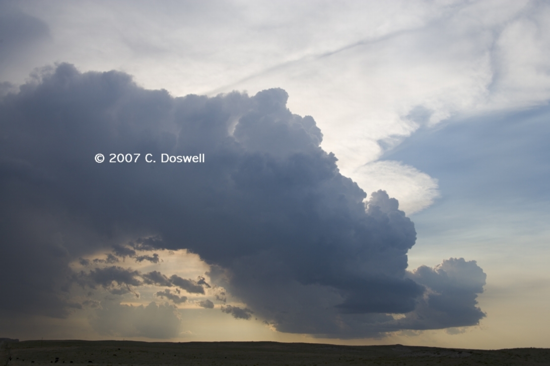
Another decent chase day. We went for storms developing in NM, hoping to see something when they ran into the OFB roughly along 1-40. Storms developed, and one dominated as a supercell, with anvil mammatus, occasional lowerings, inflow bands, and other interesting cloud structures - but essentially withouth much chance of becoming tornadic. Saw Matt Crowther and the original Twister Sisters again while watching our storm. Another beautiful storm developed about 100 miles to our southeast. We finally kissed off our storm and had supper in CVS, after which John and Scott had to go back towards DEN, so we said our goodbyes.
Route: Vega, TX, north on US385 to DHT, northeast on US54 to Stratford, TX, east on TX15 to Spearman, TX, east on TX FM759 to TX70, south to I-40, east to I-240, southeast to Sooner Rd, and home
We blew off today - thereby missing the Dimmitt, TX tornado - but we had a good time with wildflowers, landscapes, etc. in the TX Panhandle. Made good time going home.
Route: OUN, north on 24th St to Franklin Road, west to I-35, north to I-135, north to US81, north to York, NE, west on I-80 to US281, north to O’Neill, NE
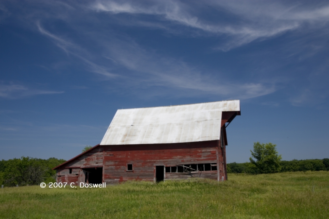
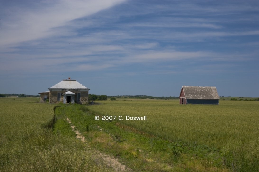
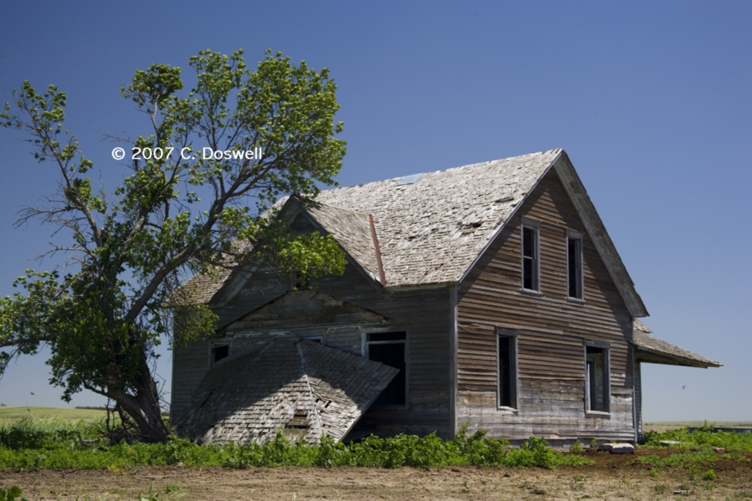
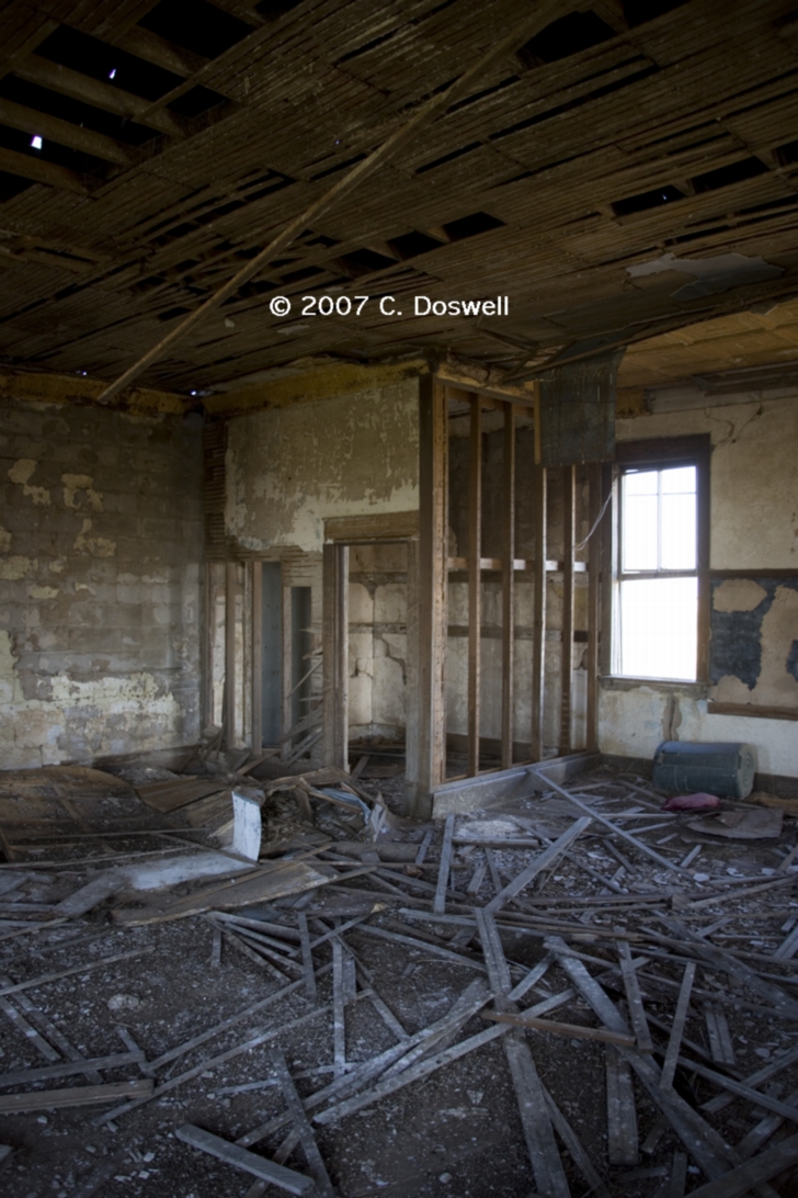
A repositioning day. Shot some old buildings along the way – a barn and a home with a barn.
Route: O’Neill, NE, north on US281 to I-90, west to Kadoka, SD, south on SD73 about 8 miles, then west on unnumbered country road about 1 mile, then back to SD73, north to I-90, east to US183, south to SD44, east to Winner, SD
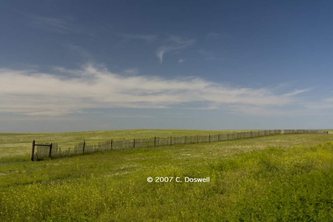
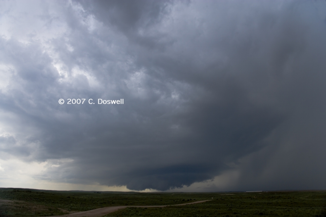
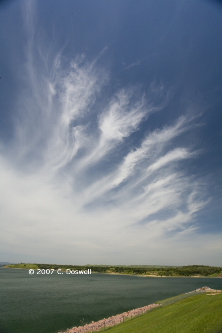
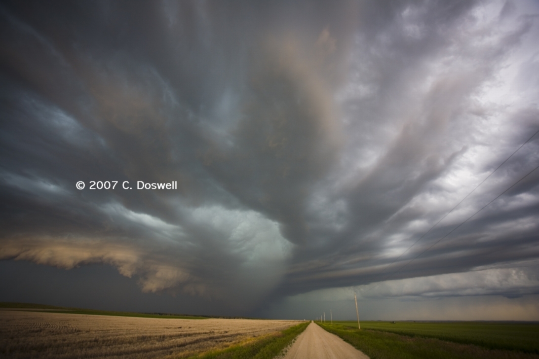
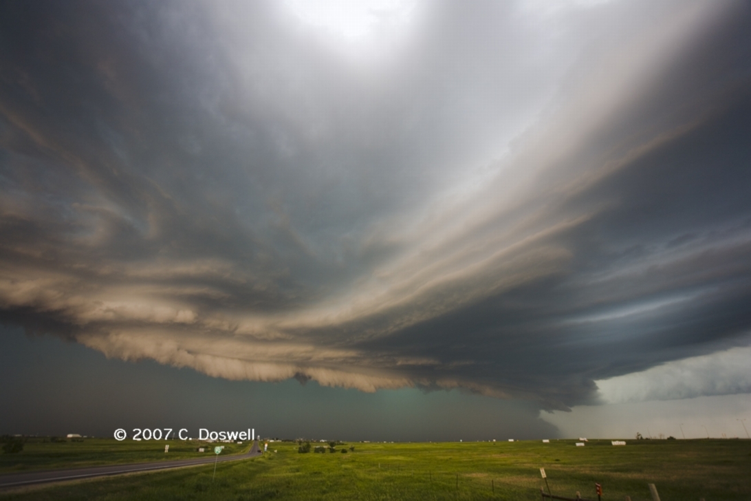
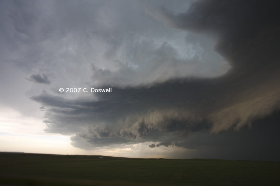
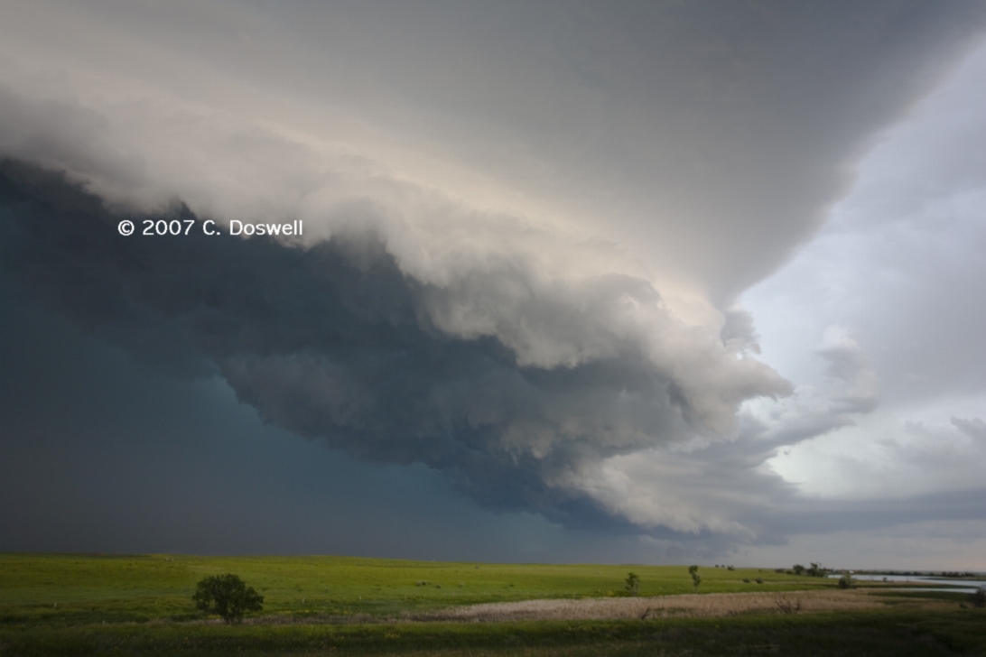
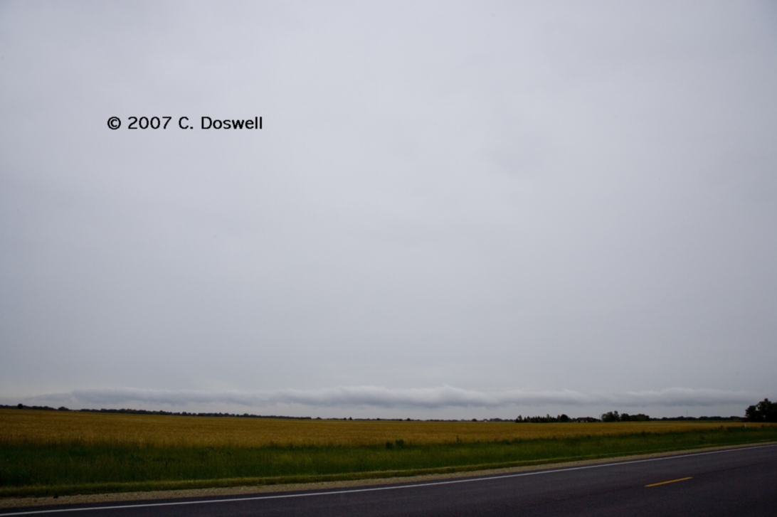
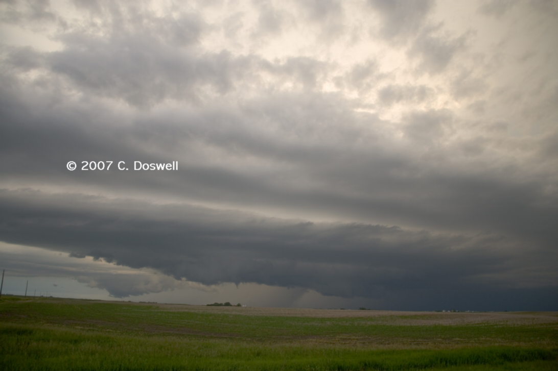
A good chase day, but a frustrating outcome. Expecting a late show, we drifted slowly north and west, doing some casual old house photography and capturing a nice advancing cirrus shot, with a leisurely lunch in Kimball, SD. Storms developed considerably earlier and farther west than we expected, so when things got going, we had to race west - dealing with contruction delays, of course - and finally got on the storm after it had produced its tornado(es), although it tried several times as we waited for it to approach. It had become an HP mess, with mesocyclones rotating around the RFD and into the notch, sometimes producing funnel clouds (possibly brief tornadoes). It developed a visually-interesting “layer cake” structure as it approached the Interstate, but then rapidly became a “windbag” - pushing its outflow well ahead (15 mi or more) of its cores, and several gustandoes were observed. Soon, we gave it up for the day. We had done what we could with the situation, but came up short for yet another reason - this time, a poor forecast. A squall line finally developed on the front late the in the day.
Route: Winner, SD, southeast on SD44 to US183, south to I-70, east to SLN
Not really a chase day. We dropped south, but found storms firing well east of us, in SLN, so we just set down for the night. Did some old buildings along the way.
Route: SLN, south on I-135 to I-35, northeast on US50 to KS177, south to Cottonwood Fall, KS, then back north on KS177, southwest on US50, to I-135, south to I-35, continuing south to OUN
On the return trip, we visited with Judith Mackey and her husband (Ken) at the Flint Hills Gallery in Cottonwood Falls, KS (Chase county), did some more fun photography, and got home relatively early.
Route: OUN, north on 24th St to Franklin Road, west to Sooner Rd, north to I-40, west to I-35, north to I-135, north to US81, north to US24, west and northwest to US281, north to US36, west toUS183, north to US136, west to NE89, west to US83, north to 5 miles north of MCK, back south to MCK
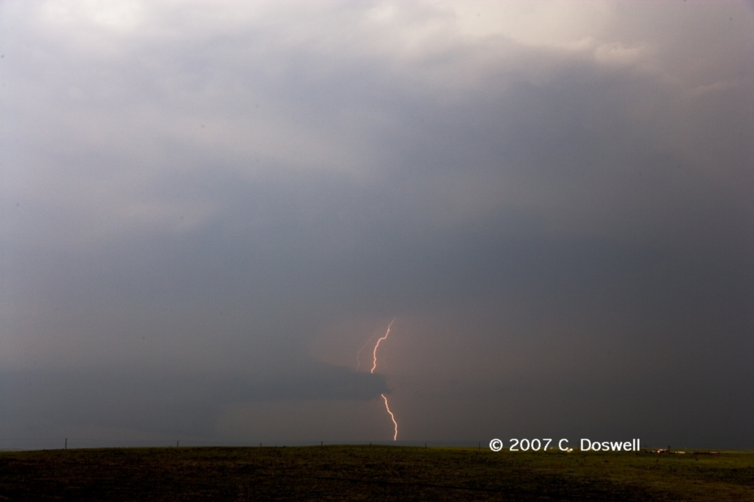
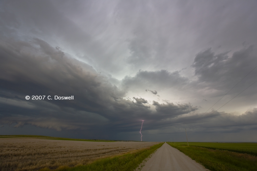
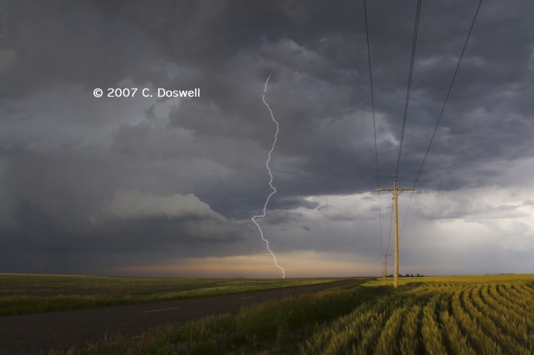
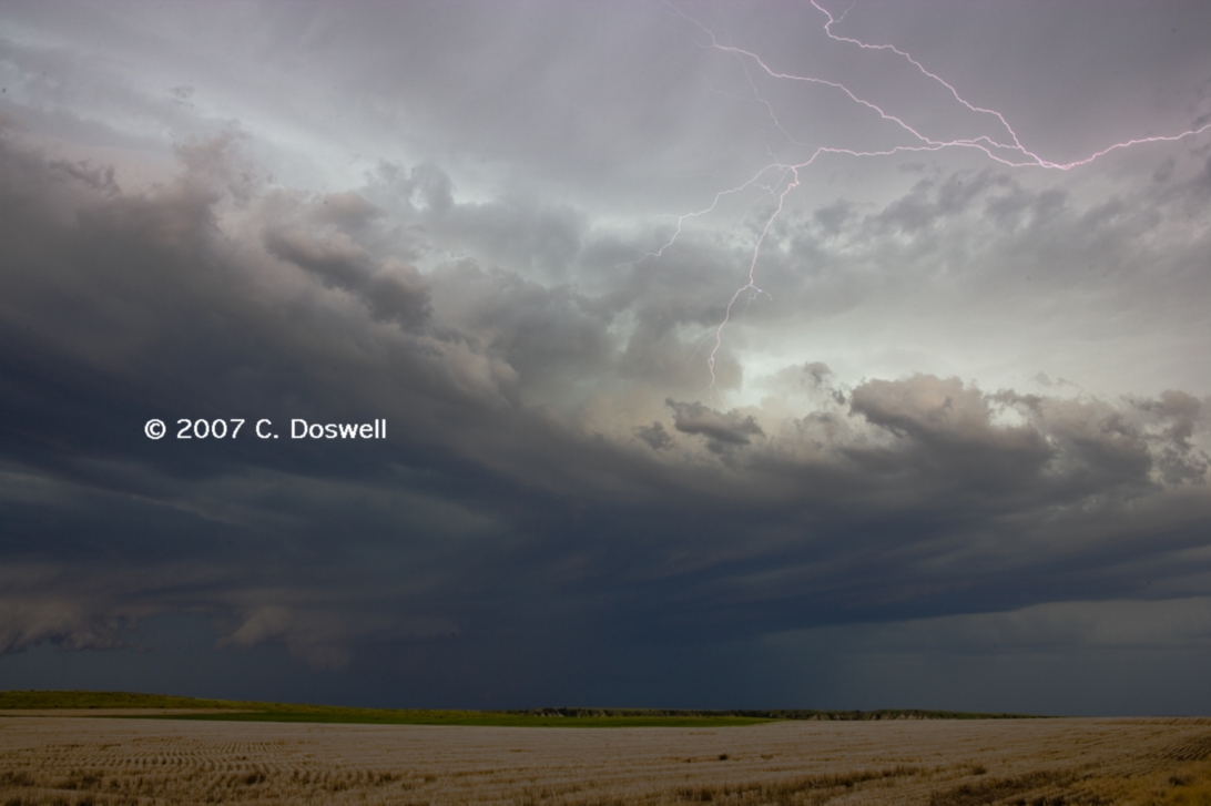
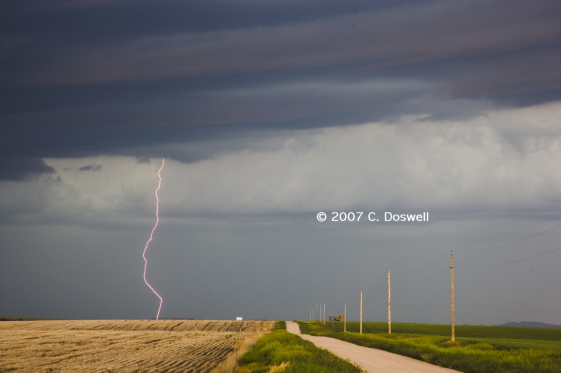
A leisurely day with low expectations. The forecast area (near HSI) was clearly not going to initiate storms, so we drifted west and north to intercept some high-based storms coming out of northeastern CO. Shot some lightning just north of MCK, and then bagged it for the night.
Route: MCK, northwest on US6 to US385, north to US138, northeast to US30, south to I-80, southwest to I-76, southwest to US385, south to unnumbered road, east to NE23, east to NE61, south to US6, southeast to MCK
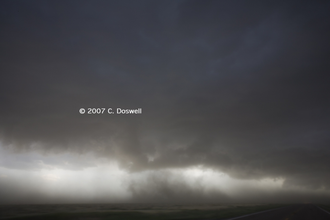
We had a leisurely drive to IML from MCK - dawdled in air conditioned comfort in the IML library (an excellent one) until storms began to fire in NE and northeastern CO and then ventured out to see them. We intercepted the storms along US385 in CO and drifted north with them for a while - with some interesting anvil appearance, then came back south on 385 once they began to get seriously supercellular. One intensified and took a hard turn to the right, and gave us a nice view of its rear flank as it went by. A bit later it produced some dust whirls that might have been tornadoes but could have been downdraft-induced gustnadoes, and then rapidly declined. So we headed farther south and east - after a storm southwest of IML that had been nearly stationary for several hours. We managed to see some great action that was very nearly tornadic to the immediate east and south of IML, as mesocyclones rotated through the system. We never saw anything we could definitively call a tornado although there apparently were some substantial gustnadoes - there might have been something tornadic wrapped in rain, but we couldn't be sure of what we saw. For a while, we had a great vantage point, but as the action moved northeastward, we had road and fuel issues and so couldn't stay with the storms. Anyway, the storms were photogenic at times, and I got some lightning shots, as well. Occasionally the storms produced bursts of staccato CGs, most of which I missed, of course. All in all, though, a good chase day, short of a tornado. I have to say I was a bit surprised to not see any TOR warnings with the storm near IML!
Route: MCK, south on US83 to US24, west to Colby, KS, east on I-70 to exit 207 (Castle Rock rd), south 17 miles to Castle Rock and back, then east on I-70 to SLN
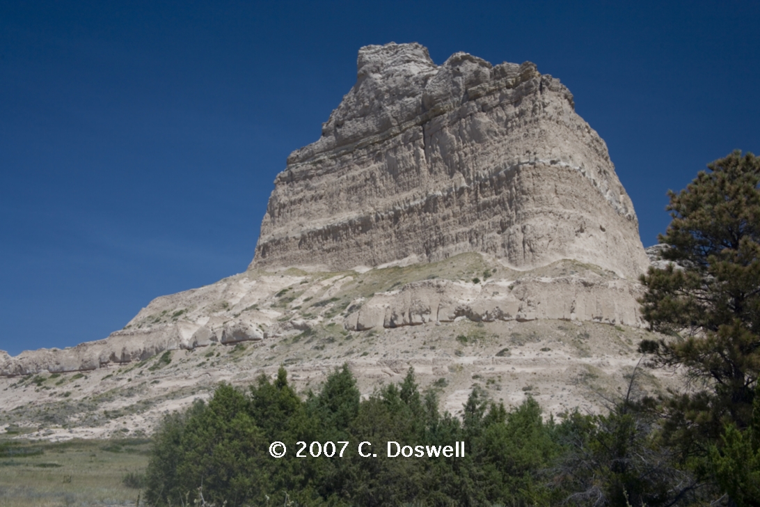
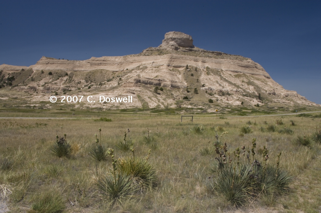
Gave up on the chase - our target area of southwestern NE was clearly headed toward flash flooding, not severe weather of the sort we wanted to see. As we headed toward SLN, we took a side trip and visited Castle Rock - very nice. We also saw some weak storms developing to our north, passed through some sort of boundary (poor vis to the east side). Put down in SLN.
Route: SLN, north on KS143 for 3 miles, then back south to I-135, south to I-35, then south to USOK11, west to US81, south to US60/64, west to OK132, south to US60/412m west to OK58, southwest to OK9, south to OK51, east to I-35, south to OUN
Almost a non-chase day. We visited the Smoky Hill Winery near SLN, then went into Chase County again to see the Tallgrass Prairie National Preserve, and to photograph wildflowers. On the way home, we saw an anvil to our south, fired up MTN and gave chase, but a combination of distance, a late start, bad visibility, and impending darkness meant we saw nothing of the storm structure, missed the tornadoes in northwestern OK, and wound up in the RFD precip! We immediately baled out and headed home.
Part 3: Chasing with Tempest Tours
Route: OUN, north on Sooner Road to I-40, west to I-35, north to ICT, north on I-135 to I-70, west to DIA
Just a travel day. Went through some typical CO high plains microburst-producing storms, but nothing noteworthy.
Route: DIA, northeast on I-76 to Ft. Morgan, north on CO52 to CO14, east to Sterling, CO, southwest on I-76 to CO63, south about 5 miles then back north to I76 to Sterling, CO, northeast on US138 to CO 133, north to Sidney, NE, west on I-80 to NE71, north to BFF
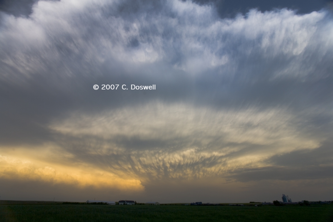
A leisurely start to the chase, with low expectations. Watched some rather disorganized multicells (with some nice anvil mammatus early) evolve into an outflow-dominated MCS. Perhaps we lingered overlong and wound up too far south at the end of the day ...
Route: BFF, northwest on US26 to US85, north ND23, east and north to ND8, north to CA18, east to about 5 miles east of MB21 on a gravel road, then south to CA3, east to CA30, south to USUS281, south to ND3, south to US2, west to MOT
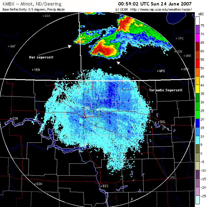
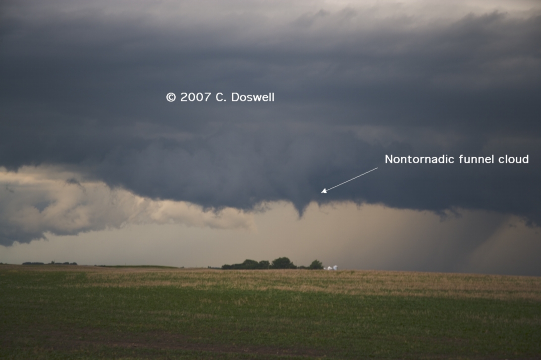
We got on the road rather early at Bill’s urging, and made the long drive into Canada, including the inevitable construction delays and a long wait at the border for no obvious reason. To make a long story short, after a very long chase, we got to within 35 miles of a tornadic supercell storm in Manitoba, but couldn’t catch up with it fast enough to beat the oncoming sunset. Too many miles to cover in one day, despite a good forecast. A weak supercell developing behind the tornado-producing lead supercell made a valiant attempt at a tornado, but couldn’t do it, as it was moving over air from the beast of a supercell in front of it. In many ways, it was a good, long (>800 miles) chase but it was another frustrating near miss!
Route: MOT, south on US83 to BIS, west on I-94 to New Salem, ND, back east on a county road to ND 14, north to US52/ND200, west on ND200 to ND41 , south to US83, continuing south to BIS
Hung around al day, hoping for storm development, but it never really happened. Something looking like it might develop into a storm drew us toward it late in the day, but it fizzled. Put down in BIS for the night.
Route: BIS, east on I-94 to exit 338, north on unnumbered county road to another, then east to I-29, north to ND17, west to Grafton, ND, then east to I-29 , north to Drayton, ND, east on ND66, and continuing east on MN66, to about 15 miles northeast of Karlstad, MN, then back to I-29, south to ND17, west to ND20, then south to DVL
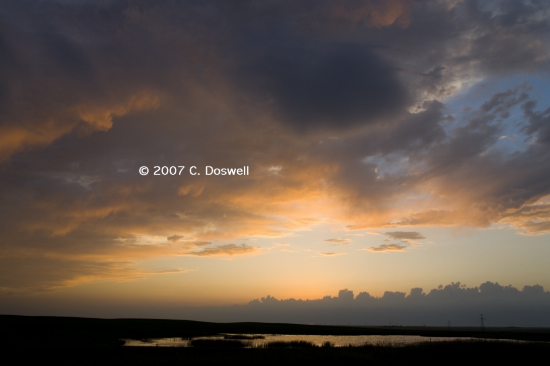
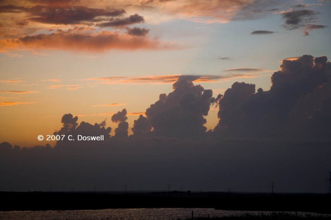
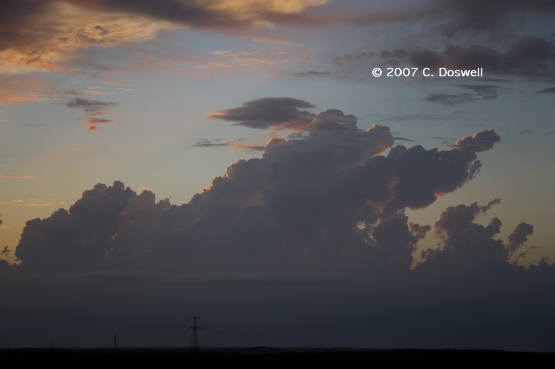
Pretty much a repeat of yesterday’s bust scenario, in a different location. Some towers developed late in the day, again, along the boundary that struggled against the cap and then fizzled, but gave us a nice sunset as a consolation prize.
Route: DVL, west on ND19 to ND3, south to I-94, west to GDV
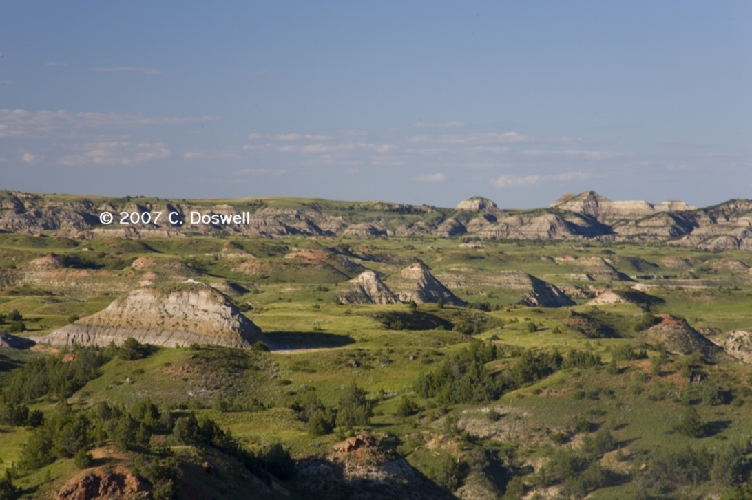
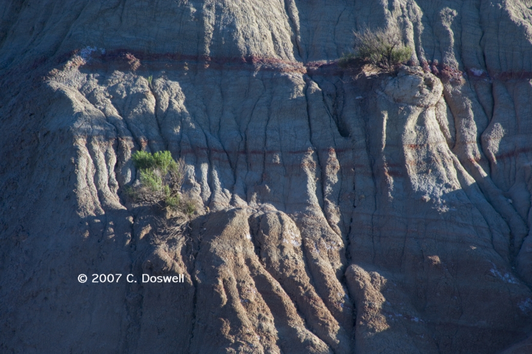
A repositioning day. Visited Theodore Roosevelt National Park (south unit).
Route: GDV, southwest on I-94 to MT47, south to I-90, southeast to I-25, south to Wheatland, WY
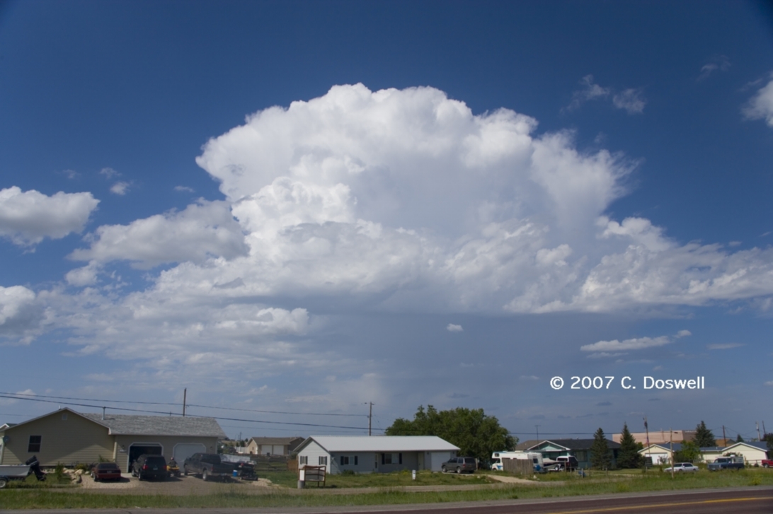
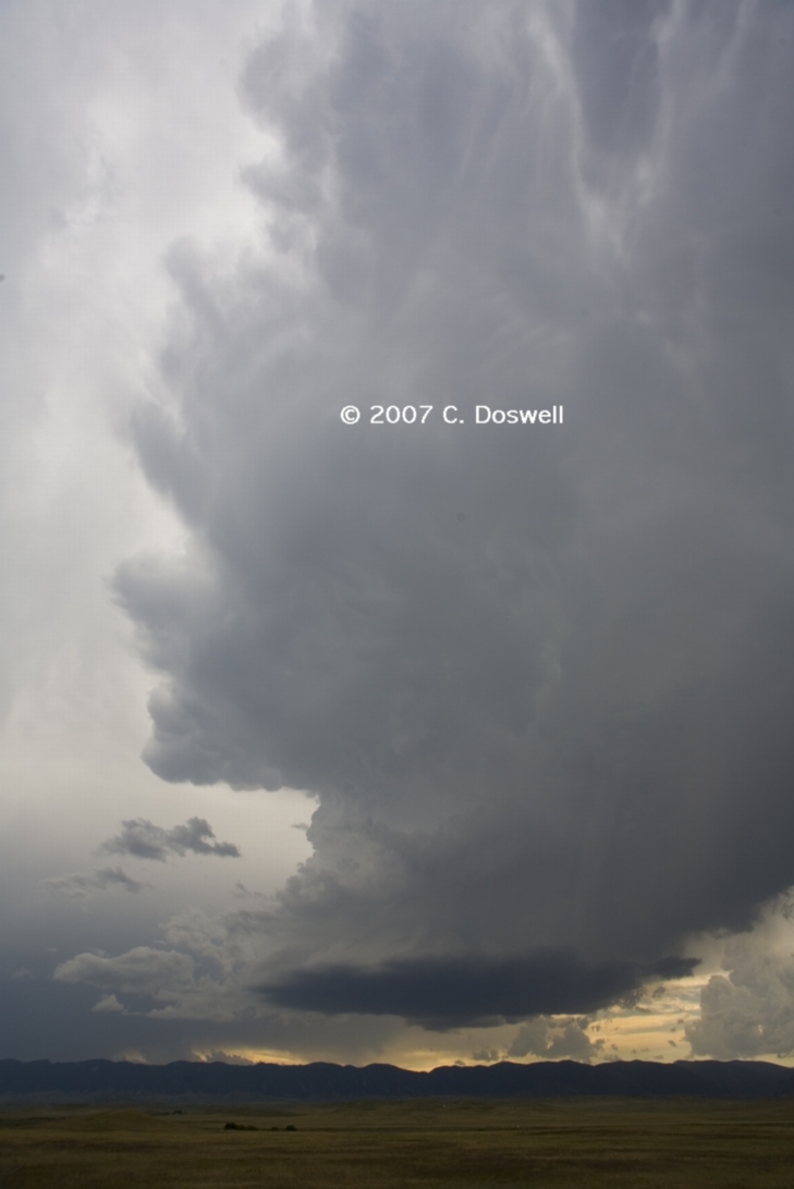
A long drive to start. Storms began to fire as we got around Sheridan, WY. The first storm was a high-based POS, which eventiually dissipated. South of Buffalo, WY, we found a weakly-rotating, high-based LP supercell (with an even weaker nearby companion) that was interesting for a time. Gradually, the storms went downhill and merged into a squall line., which also died around sunset
Route: Wheatland, WY, north on I-25 to US26, east to MT270, north to US20, east to US85, south to Torrington, WY, then back to Lingle, WY, west and south on unnumbered country road for about 10 miles, then back to US85, south to WY151, east to NE88, east to NE71, north to BFF
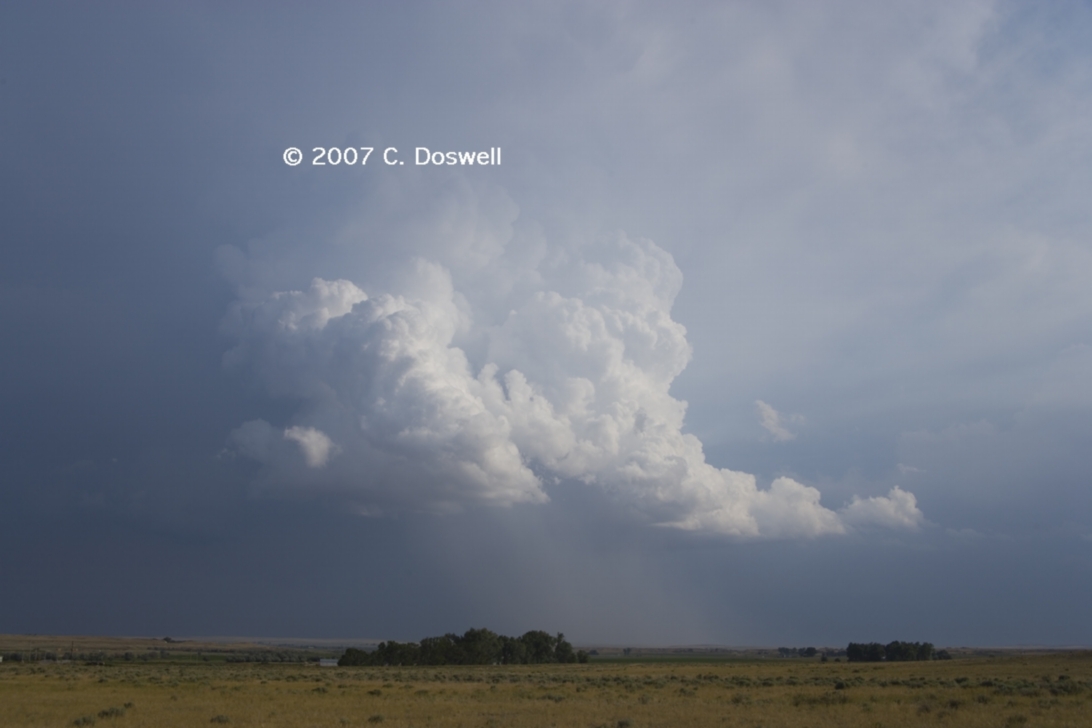
Not a bad chase day. Storms began to fire so we chased one northeastward but it died as we arrived. Then we dropped south and a splitting, weakly-rotating LP supercell evolved that moved westward! Then, as it approached some storms coming eastward, a new cell developed between them ... eventually, the merging storms died, including some new convection (including a weak LP supercell) that tried to develop to our northwest (but failed), so we continued southward and were treated to a final storm moving eastward with an inflow flank on its north side. The sunset was very nice, and as we bagged it for the day, yet another distant supercell could be seen on the horizon (more than 100 miles away according to MTN).
Route: BFF, south on NE71 to I-80, west to LAR, south on US287 to FCL, south on I-25 to DIA
A few high-based, weak mountain fuzzball storms went up in eastern WY, but otherwise not much happened weatherwise. We headed back to Denver for the night after visiting LAR and FCL on the way.
Route: DIA, east on I-70 to I-135, south to I-35, continuing south to I-40E, east to Sooner Rd, and home
The trip home was made somewhat interesting by scattered storms from ICT to somewhere north of Guthrie, OK. Several rivers along the way from southern Kansas into northern OK were out of their banks from recent heavy rains. But no images because I wanted to get home.
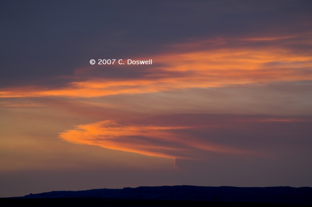
Every year has themes. This year there have been three dominant themes for us: (1) Seeing supercells but missing the tornadoes for various reasons, (2) Good storm structure shots, and (3) Great wildflowers. From what I've seen of other chaser photos this year, a photogenic tornado has been hard to come by for all. There might be some tornado shots I haven't seen, but given our missed tornado opportunities, we didn't miss any spectacular tornado images, except for the Manitoba event on 23 June. There were some good tornado images from earlier in the season when we weren't chasing.
The problem with "chaser convergence" is getting worse every year - it was pretty bad on 23 May in the TX panhandle - with more and more obviously clueless idiots roaming the plains. to say nothing of those who block the highways (including researchers who should set a better example than that). And more and more "outlaw chasers" who delight in thumbing their noses at the very idea of being safe and responsible. I continue to be repelled by the latter and irritated with the former. Law enforcement is justifiably increasingly concerned about chasers blocking the roads for first responders. What really gets to me about most of these inconsiderate chasers is that they give little or nothing back in return for indulging in their pleasure - it's all about their self-gratification (and "glory") - they care virtually not at all about anyone around them, returning nothing to the community except for their braggadocio. Rather, they give all chasers a black eye.
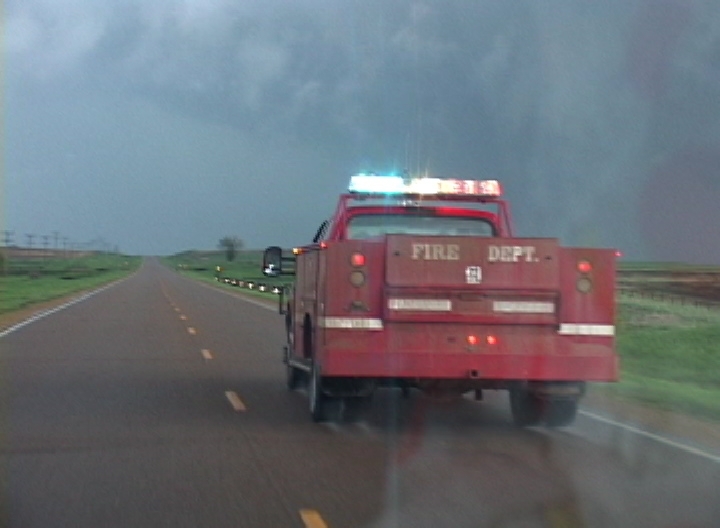
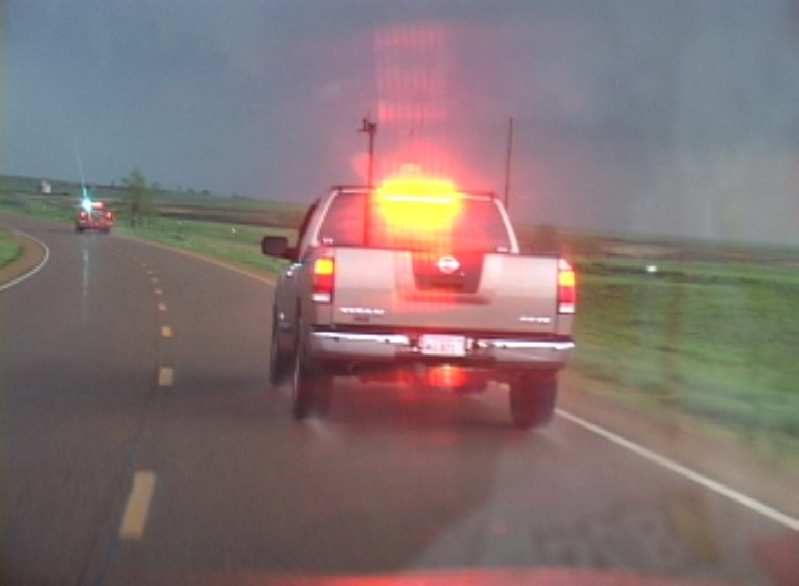
On 5 May, we saw what appeared to be a spotter in a fire engine going slowly down the road (blocking traffic) with his lightbar flashing. Following him was a pickup with a blinding strobe-type lightbar. A long line of cars, undoubtedly some of them chasers, had backed up behind these guys - perhaps these spotters had good intentions, but going down the road with lightbars flashing seemed inappropriate for folks who were, after all, not law enforcement officers.
I got caught this year in a very obvious "speed trap" in Dumas, TX on a non-chase day. The police were waiting for speeders on the edge of town where the speed limit is held at 40 mph a long ways after most of the town has been left behind. I'm not denying that I broke the letter of the law and have paid (literally) the price for it - but this practice seems mostly like a way for a town to generate income rather than an effort to protect its citizens. Dumas is not the only town to have such a set-up, so we have been very careful to not get caught again.
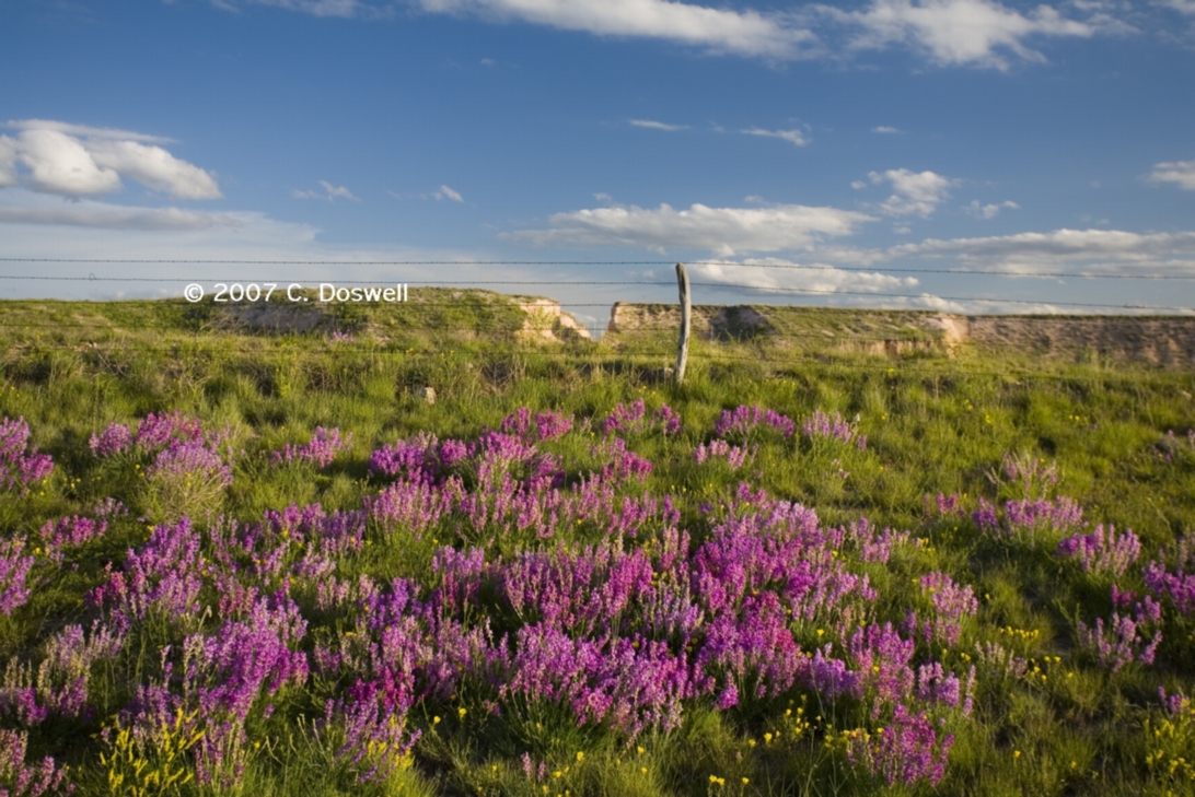
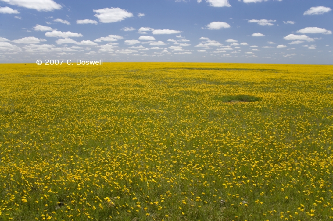
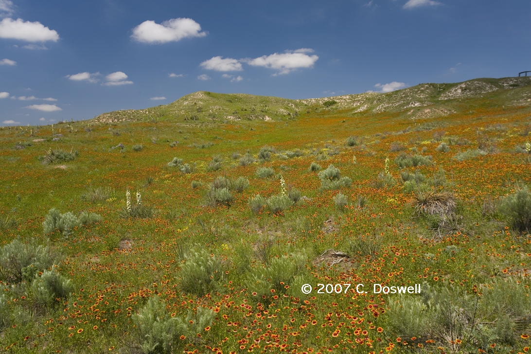
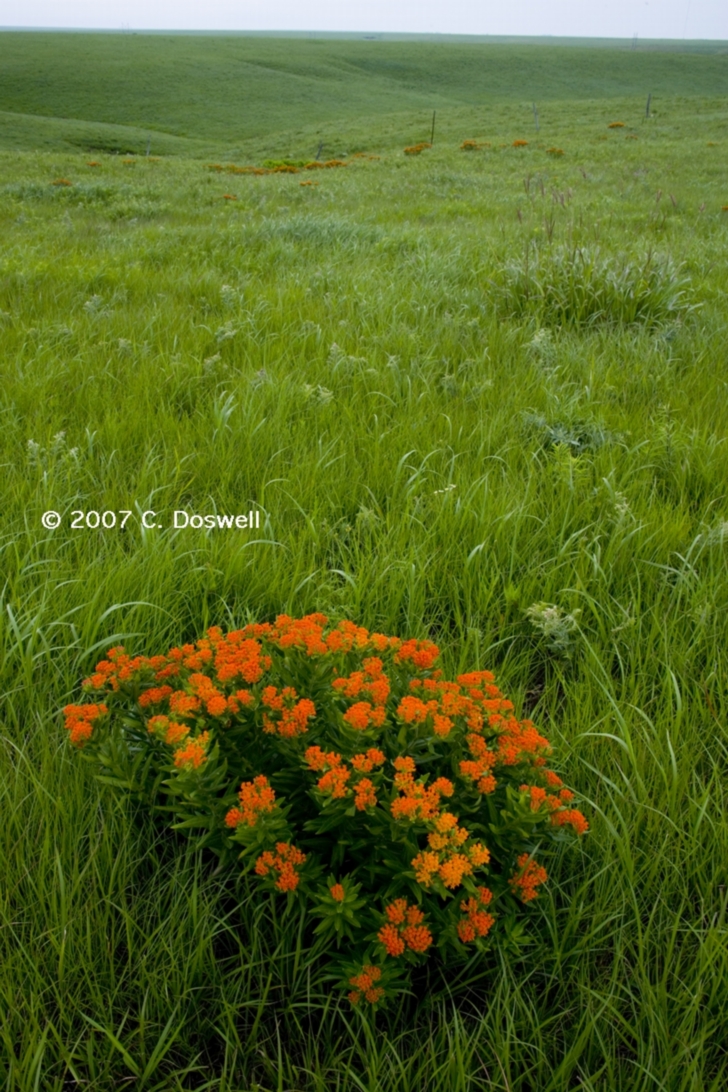
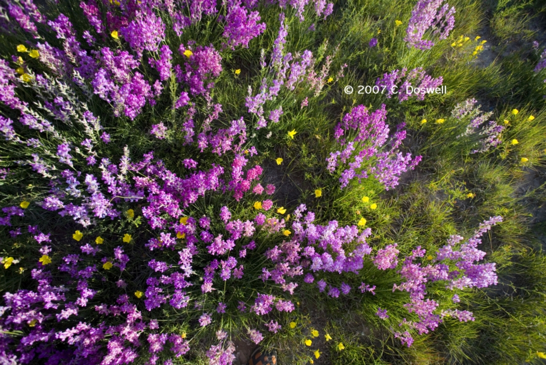
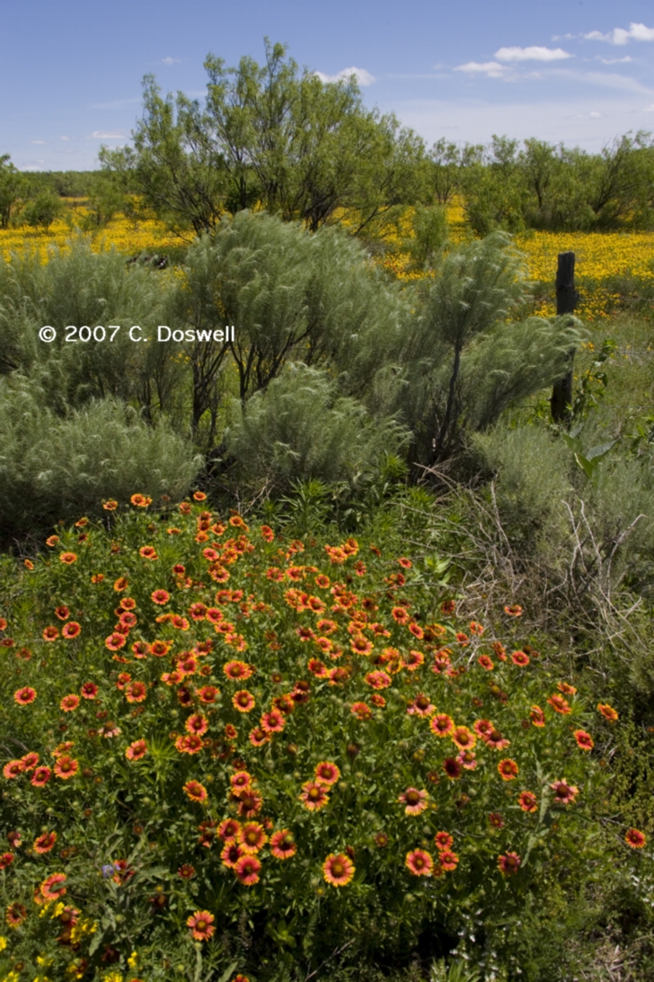
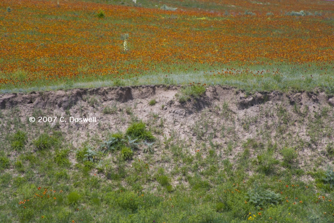
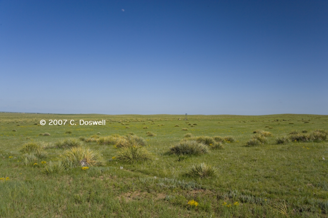
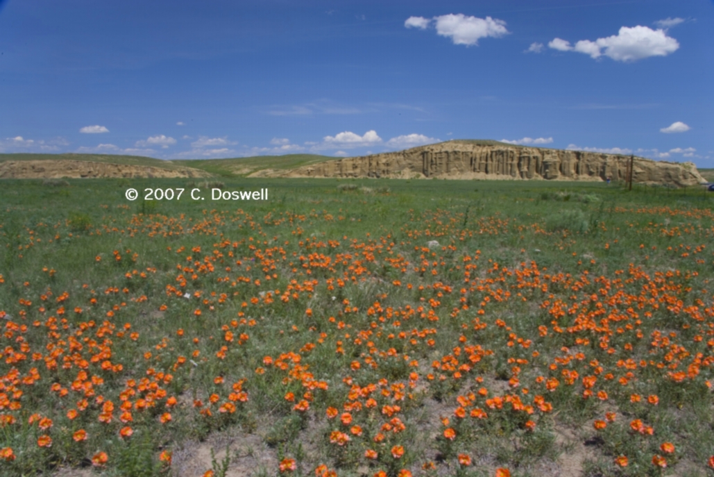
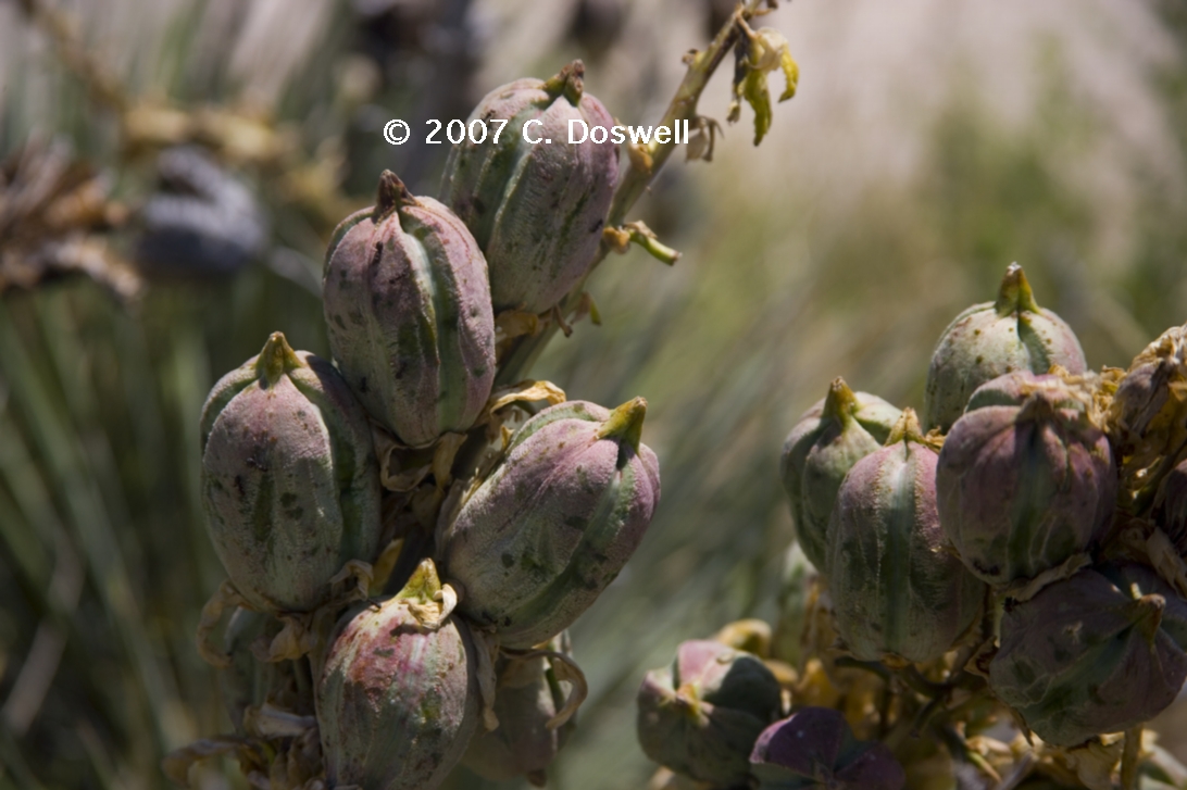
After nearly two years of extended drought, the spring rains brought out a profusion of wildflowers and we've really enjoyed the photographic opportunities presented by the wildflower explosion. It's good to see it again.
On our chase day of 25 May, after leaving our motel in Colby to chase the storm, Vickie and I were very low on fuel. There was a very nice local family from Winona watching the storm at one of our photo stops. As we talked with them, we asked about the nearest gas station, and they volunteered to help us obtain gas from a station in town that was closed, using their gas card. Such wonderful people are a really important part of chasing on the plains, for us. Someone focused only on upping their tornado count for the year just doesn't get it. This year, we had many pleasant encounters with locals, who were invariably helpful, even when not asked for help.
The Tallgrass Prairie Preseve near Strong City, KS is a wonderful experience. We took the 90 min bus tour - US Park Service Ranger Dan Riggs was a fountain of knowledge and made the visit extremely informative and enjoyable. He went out of his way to be helpful.
Our visit to the Flint Hills Gallery in Cottonwood Falls, KS was also enjoyable. Judith Mackey and her husband, Ken, were gracious as usual and it was great to renew our acquaintance. Judith is a talented artist and is particularly adept at skyscapes, with her inspiration obviusly coming from the local weather. We bought some of her prints to display proudly on the walls of our home.
I should mention I enjoyed interludes of chasing with John Monteverdi, Thom Trimble, Scott Landolt, and the "gang": Chris Juckins, Rob Handel, and Dan Porter. As always, it was a pleasure meeting with various chaser friends, including the original Twister Sisters (Linda and Kathy), Matt Crowther, Tim Marshall, Stuart Robinson, Dean Cosgrove, Brian Curran, Ed Calianese, and others I may (or may not) have mentioned in my accounts above.
During this year's chase, I was in 11 states: TX, OK, KS, NE, SD, ND, MN, MT, WY, CO, NM, as well as both Saskatchewan and Manitoba, Canada - pretty much the whole plains tour.
These have been updated and consolidated into a single new page, here. A few new additions, plus we revisited some old places.